Town Fortifications · Baroque / Rococo
Tor zum Leinpfad


Description
This description is only available in German.
Translate with Google opens this page in Google Translate (external service)
Inschrift am Torbogen:
1766
MH - PG [2]
Classification
- Subject area
- Architectural and Art Monuments
- Object type
- Town Fortifications
- Date
- 1766
- Period
- Baroque / Rococo
Location
- District
- City of Trier
- Collective municipality
- Verbandsfreie Gemeinde Trier
- Town
- Trier
- Locality / location
- Pfalzel
- Street
- Spielesplatz 3
- Field name
- Ortslage
- Coordinates
- WGS 84: 49.779500, 6.693590 (Position: exact) WGS 84: 49° 46′ 46.2″ N, 6° 41′ 36.9″ E UTM 32 (ETRS89): E 333959 · N 5516667
Sources
Data sources
- [1] Plan der Ortsbefestigung Pfalzel. In: Wackenroder, Ernst / Neu, Heinrich: Kunstdenkmäler des Landkreises Trier. Düsseldorf 1936. Aufmessung und Zeichnung (1935) von Architekt Franz Krause nach einem Plan des Geh. Reg.- und Baurats A. v. Behr und in Verbindung mit Dipl.-Ing. K. Nagel und Dr. E. Wackenroder.
- [2] Michael Grün, Trier, 2024.
On the internet
Picture credits
Last edited: 15 Jan 2024 Object ID: 47952
https://kulturdb.de/en/objekt/47952-trier-tor-zum-leinpfad
Nearby
The nearest objects
 less than 10 m
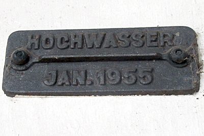
Flood Marks
Tor zum Leinpfad - Hochwassermarke
 10 m
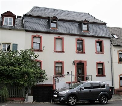
Town Houses and Commercial Buildings
Mansardwalmdachbau Spielesplatz 1
No picture
20 m
Town Fortifications
Älterer Turm der Befestigung
 30 m
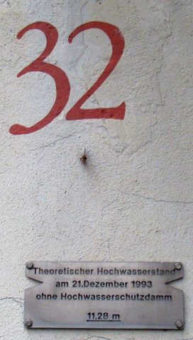
Flood Marks
Haus Stiftstraße 32 - Hochwassermarke
 40 m
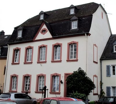
Fountains and Wells
Ehemals öffentlicher Brunnen
 40 m
Administrative Buildings
Sogenanntes Rosportsches Haus
40 m
Town Halls
Ehemalige Amtsbürgermeisterei Pfalzel
 40 m
Stolpersteine (Stumbling Stones)