Flood Marks · Undated
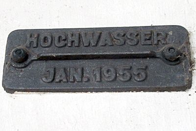
Haus Stiftstraße 32 - Hochwassermarke


Description
This description is only available in German.
Translate with Google opens this page in Google Translate (external service)
Am Haus Stiftstraße 32 ist eine Hochwassermarke mit einem theoretischen Hochwasserstand angebracht:
Theoretischer Hochwasserstand
am 21. Dezember 1993
ohne Hochwasserschutzdamm
11.28m
---------
[1]
Classification
- Subject area
- Architectural and Art Monuments
- Category
- Markers and Monuments
- Object type
- Flood Marks
- Date
- Undatiert
- Period
- Undated
Location
- District
- City of Trier
- Collective municipality
- Verbandsfreie Gemeinde Trier
- Town
- Trier
- Locality / location
- Pfalzel
- Street
- Stiftstraße 32
- Field name
- Ortslage
- Coordinates
- WGS 84: 49.779741, 6.693294 (Position: exact) WGS 84: 49° 46′ 47.1″ N, 6° 41′ 35.9″ E UTM 32 (ETRS89): E 333939 · N 5516695
Sources
Data sources
- [1] Michael Grün, Trier, 2024.
On the internet
Picture credits
Last edited: 16 Jan 2024 Object ID: 53018
https://kulturdb.de/en/objekt/53018-trier-haus-stiftstrasse-32-hochwassermarke
Nearby
The nearest objects
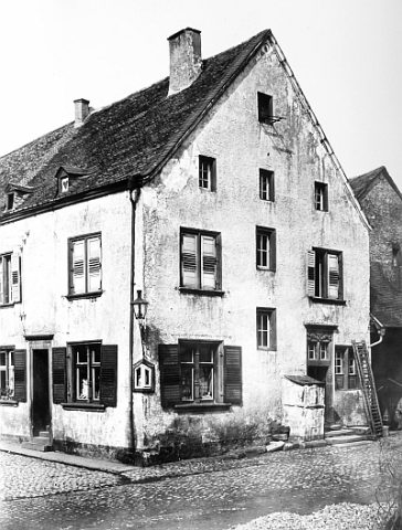 less than 10 m
Administrative Buildings
Sogenanntes Rosportsches Haus
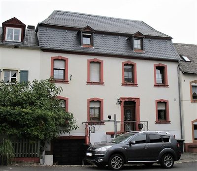 20 m
Town Houses and Commercial Buildings
Mansardwalmdachbau Spielesplatz 1
Street Names
Spielesplatz
Town Fortifications
Älterer Turm der Befestigung
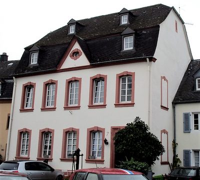 30 m
Fountains and Wells
Ehemals öffentlicher Brunnen
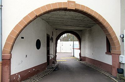 30 m
Town Fortifications
Tor zum Leinpfad
 30 m
Flood Marks
Tor zum Leinpfad - Hochwassermarke
 40 m
Stolpersteine (Stumbling Stones)