Ferries · Historicism / Art Nouveau
Ehemalige Fähre bei Altschmiede


© GeoBasis-DE / LVermGeoRP, dl-de/by-2-0
There is no picture of this object yet. Do you have a photo that you would like to make available to the Kulturdatenbank? Submit a picture
Classification
- Subject area
- Architectural and Art Monuments
- Category
- Economy, Trade and Transport
- Object type
- Ferries
- Date
- 1885
Location
- District
- Eifelkreis Bitburg-Prüm
- Collective municipality
- Südeifel
- Municipality
- Bollendorf
- Locality / location
- Altschmiede
- Field name
- [Sauer]
- Coordinates
- WGS 84: 49.840035, 6.336960 (Position: exact) WGS 84: 49° 50′ 24.1″ N, 6° 20′ 13.1″ E UTM 32 (ETRS89): E 308527 · N 5524247
Sources
Data sources
- [1] Meßtischblatt 3454 : Bollendorf, 1887. Bollendorf. - Aufn. 1885. - 1:25000. - [Berlin]: Reichsamt für Landesaufnahme, 1887. - 1 Kt.
On the internet
Last edited: 25 Oct 2018 Object ID: 48000
https://kulturdb.de/en/objekt/48000-bollendorf-ehemalige-faehre-bei-altschmiede
Nearby
The nearest objects
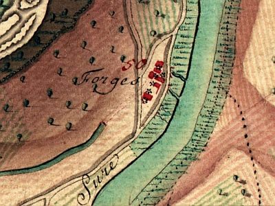 30 m
Ironworks
Eisenhütte-Altschmiede
No picture
280 m
Field Names
Aufm Jeuchenrech
No picture
550 m
Burial Mounds
Aschenkisten
No picture
560 m
Field Names
Beim Trunkborn
No picture
630 m
Extraction and Processing of Raw Materials
Verfallenes Fischwehr in der Sauer
No picture
780 m
Fords
Ehemalige Furt durch die Sauer
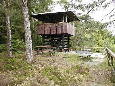 840 m
Rocks
Lingelslay - 3. Abschnitt
No picture
870 m
Field Names