Extraction and Processing of Raw Materials · Undated
Verfallenes Fischwehr in der Sauer


© GeoBasis-DE / LVermGeoRP, dl-de/by-2-0
There is no picture of this object yet. Do you have a photo that you would like to make available to the Kulturdatenbank? Submit a picture
Description
This description is only available in German.
Translate with Google opens this page in Google Translate (external service)
Der Fischfang (an der Sauer) war einst so wichtig, daß dafür eigens Wehre errichtet wurden.
Classification
- Subject area
- Archaeological Monuments
- Category
- Economy, Trade and Transport
- Object type
- Extraction and Processing of Raw Materials
- Date
- Undatiert
- Period
- Undated
Location
- District
- Eifelkreis Bitburg-Prüm
- Collective municipality
- Südeifel
- Municipality
- Bollendorf
- Locality / location
- Westerheld
- Field name
- [Sauer]
- Coordinates
- WGS 84: 49.845614, 6.338795 (Position: exact) WGS 84: 49° 50′ 44.2″ N, 6° 20′ 19.7″ E UTM 32 (ETRS89): E 308681 · N 5524863
Sources
Data sources
- Geographischer Wanderführer für den Saar-Mosel-Raum. Hrsg. Christoph Becker und Peter Moll. Saarbrücken 1990
On the internet
Last edited: 4 Oct 2007 Object ID: 4806
https://kulturdb.de/en/objekt/4806-bollendorf-verfallenes-fischwehr-in-der-sauer
Nearby
The nearest objects
Fords
Ehemalige Furt durch die Sauer
Field Names
Hinter Wersterheld
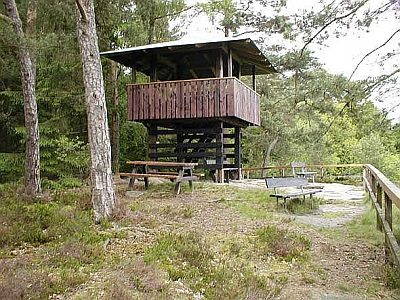 490 m
Rocks
Lingelslay - 3. Abschnitt
 570 m
Wayside Shrines and Stations of the Cross
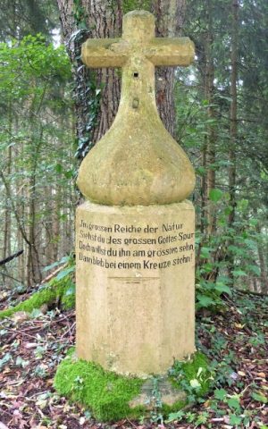
Wegekreuz gegenüber der Marienkapelle
 600 m
Chapels
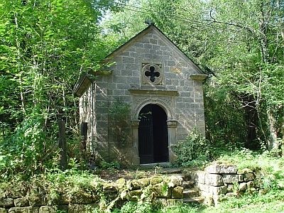
Marienkapelle am Schankberg
 610 m
Ironworks
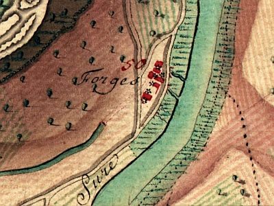
Eisenhütte-Altschmiede
Ferries
Ehemalige Fähre bei Altschmiede
700 m
Rocks