Field Names · Undated
Beienecken

Description
This description is only available in German.
Translate with Google opens this page in Google Translate (external service)
Beien – Bedeutung: moselfränkisch für die Bienen. [1]
Classification
- Subject area
- History
- Category
- Field Names
- Date
- Undatiert
- Period
- Undated
Location
- District
- Trier-Saarburg
- Collective municipality
- Hermeskeil
- Municipality
- Beuren (Hochwald)
- Locality / location
- Beuren
- Field name
- Beienecken
- Coordinates
- WGS 84: 49.718748, 6.924567 (Position: exact) WGS 84: 49° 43′ 07.5″ N, 6° 55′ 28.4″ E UTM 32 (ETRS89): E 350399 · N 5509428
Sources
Data sources
- [1] Wilma Herzog, Gerolstein, 2016.
On the internet
Picture credits
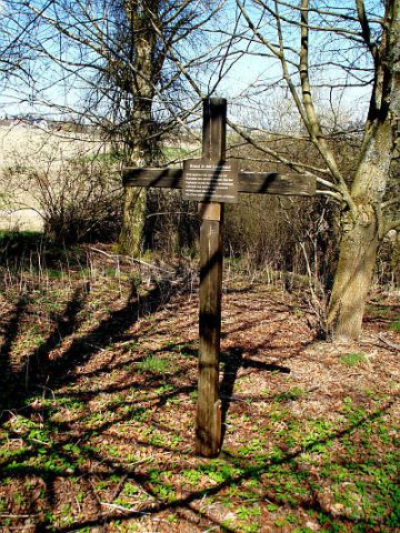
- Picture 1: Sputniktilt [CC BY-SA 3.0 (https://creativecommons.org/licenses/by-sa/3.0)]
Last edited: 11 May 2019 Object ID: 48247
https://kulturdb.de/en/objekt/48247-beuren-hochwald-beienecken
Nearby
The nearest objects
No picture
200 m
Mills
Philippsmühle am Liebenbach
No picture
200 m
Field Names
Weierseifen
No picture
240 m
Mills
Ehemalige Sägemühle
No picture
280 m
Field Names
Auf der Kehr
No picture
420 m
Field Names
Pfaffenberg
No picture
500 m
Extraction and Processing of Raw Materials
Schiefer-Bruch Gottenberg
No picture
540 m
Extraction and Processing of Raw Materials
Schiefer-Bruch Laienkaul
 550 m
Wayside Shrines and Stations of the Cross