Field Names · Undated
Auf der Beienwies

Description
This description is only available in German.
Translate with Google opens this page in Google Translate (external service)
Beien – Bedeutung: moselfränkisch für die Bienen. [1]
Classification
- Subject area
- History
- Category
- Field Names
- Date
- Undatiert
- Period
- Undated
Location
- District
- Vulkaneifel
- Collective municipality
- Kelberg
- Municipality
- Hörschhausen
- Street
- Talweg
- Field name
- Auf der Beienwies
- Coordinates
- WGS 84: 50.241303, 6.937979 (Position: exact) WGS 84: 50° 14′ 28.7″ N, 6° 56′ 16.7″ E UTM 32 (ETRS89): E 352968 · N 5567495
Sources
Data sources
- [1] Wilma Herzog, Gerolstein, 2016.
On the internet
vgv-kelberg.de/vg_kelberg/Gemeinden/H%C3%B6rschhausen
Picture credits
- Picture 1: Sputniktilt [CC BY-SA 3.0 (https://creativecommons.org/licenses/by-sa/3.0)]
Last edited: 11 May 2019 Object ID: 48251
https://kulturdb.de/en/objekt/48251-hoerschhausen-auf-der-beienwies
Nearby
The nearest objects
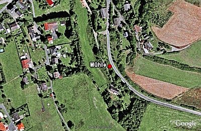 100 m
Deserted Settlements
Mühle am Ueßbach
No picture
180 m
Field Names
Altenpesch
No picture
190 m
Wayside Shrines and Stations of the Cross
Wegekreuz
 200 m
Beeches
Hundsbaum
No picture
250 m
Place Names / Local History
Ortsgeschichte Hörschhausen
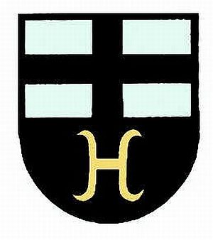 250 m
Coats of Arms
Wappen der Gemeinde Hörschhausen
No picture
280 m
Catholic Churches
Sankt Apollinaris
No picture
300 m
Field Names