Field Names · Undated
Wegekreuz


© GeoBasis-DE / LVermGeoRP, dl-de/by-2-0
There is no picture of this object yet. Do you have a photo that you would like to make available to the Kulturdatenbank? Submit a picture
Classification
- Subject area
- History
- Category
- Field Names
- Date
- Undatiert
- Period
- Undated
Location
- District
- Bernkastel-Wittlich
- Collective municipality
- Bernkastel-Kues
- Municipality
- Hochscheid
- Field name
- Idarwald
- Coordinates
- WGS 84: 49.850105, 7.232270 (Position: exact) WGS 84: 49° 51′ 00.4″ N, 7° 13′ 56.2″ E UTM 32 (ETRS89): E 372922 · N 5523464
Sources
Data sources
- Digitale Topographische Karte 1:25.000 ©GeoBasis-DE / LVermGeoRP (2017), dl-de/by-2-0, http://www.lvermgeo.rlp.de [Daten bearbeitet].
On the internet
Last edited: 12 Jul 2019 Object ID: 48377
https://kulturdb.de/en/objekt/48377-hochscheid-wegekreuz
Nearby
The nearest objects
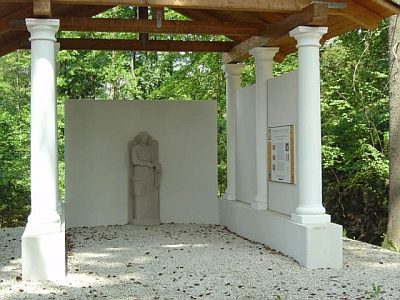 710 m
Temples, Sanctuaries
Pilgerheiligtum von Hochscheid - Quellheiligtum
750 m
Temples, Sanctuaries
Pilgerheiligtum von Hochscheid - Unterkünfte
750 m
Temples, Sanctuaries
Pilgerheiligtum von Hochscheid - Thermenanlage
 1.3 km
Spring Fens
Oberbirkenbruch und Unterbirkenbruch
1.4 km
Spring Fens
Oberbirkenbruch und Unterbirkenbruch
1.4 km
Spring Fens
Oberbirkenbruch und Unterbirkenbruch
1.6 km
Temples, Sanctuaries
Pilgerheiligtum von Hochscheid - Sirona-Tempel
 2.0 km
Settlements