Wayside Shrines and Stations of the Cross · Neoclassicism
Schwärenkreuz


© GeoBasis-DE / LVermGeoRP, dl-de/by-2-0
There is no picture of this object yet. Do you have a photo that you would like to make available to the Kulturdatenbank? Submit a picture
Description
This description is only available in German.
Translate with Google opens this page in Google Translate (external service)
Das "Schwärenkreuz" gehört eher zu den vergessenen Wegkreuzen, wie man
unschwer erkennen kann. 1807 gebaut, steht es einsam an einem
kleinen Waldweg, der unter einer A60-Brücke hindurchführt. [1]
Classification
- Subject area
- Architectural and Art Monuments
- Category
- Religious Buildings
- Object type
- Wayside Shrines and Stations of the Cross
- Date
- 1807
- Period
- Neoclassicism
Location
- District
- Bernkastel-Wittlich
- Collective municipality
- Wittlich-Land
- Municipality
- Landscheid
- Field name
- Landscheider Überbüsch
- Coordinates
- WGS 84: 50.008059, 6.714152 (Position: exact) WGS 84: 50° 00′ 29.0″ N, 6° 42′ 50.9″ E UTM 32 (ETRS89): E 336215 · N 5542030
Sources
Data sources
On the internet
Last edited: 12 Jul 2019 Object ID: 48381
https://kulturdb.de/en/objekt/48381-landscheid-schwaerenkreuz
Nearby
The nearest objects
 20 m
Firs
Dreiarmige Fichte (Rottanne)
 330 m
Castles
Ehemalige Brandenburg
Mills
Brandenmühle
Fords
Furt durch den Kailbach
Wayside Shrines and Stations of the Cross
Wegekreuz
Burial Mounds
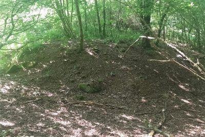
Grabhügel
 640 m
Ironworks
Ehemalige Eisenhütte Raskop
Mills