Settlements · Celtic / Roman Period
Römische Siedlungsreste

Classification
- Subject area
- Archaeological Monuments
- Category
- Settlements
- Object type
- Settlements
- Date
- Circa 500 vor Chr. bis circa 500 nach Chr.
- Period
- Celtic / Roman Period
Location
- District
- Bernkastel-Wittlich
- Collective municipality
- Wittlich-Land
- Municipality
- Schwarzenborn
- Field name
- Schwarzenborner Wald links dem Landscheider Weg
- Coordinates
- WGS 84: 50.039075, 6.726201 (Position: exact) WGS 84: 50° 02′ 20.7″ N, 6° 43′ 34.3″ E UTM 32 (ETRS89): E 337183 · N 5545452
Sources
Data sources
- [1] Geodaten von OpenStreetMap die freie Weltkarte. http://www.openstreetmap.org CC-BY-SA, 2019.
On the internet
Picture credits
- Picture 1: © Lothar Monshausen, Fotostream http://www.flickr.com/photos/lomo56/tags/meteorite/
Last edited: 12 Jul 2019 Object ID: 48387
https://kulturdb.de/en/objekt/48387-schwarzenborn-roemische-siedlungsreste
Nearby
The nearest objects
 less than 10 m
Settlements
Römische Siedlungsreste
60 m
Settlements
Römische Siedlungsreste
No picture
250 m
Mills
Mühlenwehr
360 m
Settlements
Römische Siedlungsreste
No picture
400 m
War Memorials
Friedhofskreuz
No picture
400 m
Wayside Shrines and Stations of the Cross
Schaftkreuz auf dem Friedhof
 410 m
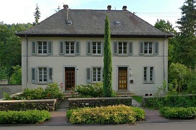
Schools
Ehemalige Schule
 430 m
Town Houses and Commercial Buildings