Localités · Période celtique / romaine
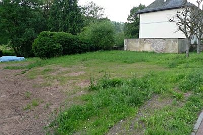
Römische Siedlungsreste

Classification
- Catégorie
- Habitat
- Type d'objet
- Localités
- Date
- Circa 500 vor Chr. bis circa 500 nach Chr.
- Période
- Période celtique / romaine
Localisation
- Arrondissement
- Bernkastel-Wittlich
- Communauté de communes
- Wittlich-Land
- Commune
- Schwarzenborn
- Lieu-dit
- Schwarzenborner Wald links dem Landscheider Weg
- Coordonnées
- WGS 84 : 50.039075, 6.726201 (Position : exacte) WGS 84 : 50° 02′ 20,7″ N, 6° 43′ 34,3″ E UTM 32 (ETRS89) : E 337183 · N 5545452
Sources
Sources des données
- [1] Geodaten von OpenStreetMap die freie Weltkarte. http://www.openstreetmap.org CC-BY-SA, 2019.
Sur Internet
Crédits photos
- Image 1: © Lothar Monshausen, Fotostream http://www.flickr.com/photos/lomo56/tags/meteorite/
Dernière modification : 12 juil. 2019 Identifiant de l'objet : 48387
https://kulturdb.de/fr/objekt/48387-schwarzenborn-roemische-siedlungsreste
À proximité
Les objets les plus proches
 moins de 10 m
Localités
Römische Siedlungsreste
60 m
Localités
Römische Siedlungsreste
Pas d'image
250 m
Moulins
Mühlenwehr
360 m
Localités
Römische Siedlungsreste
Pas d'image
400 m
Monuments aux morts
Friedhofskreuz
Pas d'image
400 m
Oratoires et stations du chemin de croix
Schaftkreuz auf dem Friedhof
 410 m
Établissements scolaires
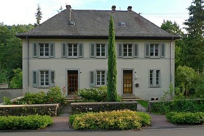
Ehemalige Schule
 430 m
Maisons de ville et bâtiments commerciaux