Ironworks · Gothic
Ehemalige Eisenhütte an der Bierbach


© GeoBasis-DE / LVermGeoRP, dl-de/by-2-0
There is no picture of this object yet. Do you have a photo that you would like to make available to the Kulturdatenbank? Submit a picture
Description
This description is only available in German.
Translate with Google opens this page in Google Translate (external service)
Eisenhütte an der Bierbach, in der Nähe der Biermühle.
1399 - Ersterwähnung
1400 - 50 Zentner Eisen nach Gynburen (Gindorf?)
ab Mitte 15. Jahrhundert nicht mehr erwähnt [2]
Classification
- Subject area
- Architectural and Art Monuments
- Category
- Economy, Trade and Transport
- Object type
- Ironworks
- Date
- 1399
- Period
- Gothic
Location
- District
- Bernkastel-Wittlich
- Collective municipality
- Wittlich-Land
- Municipality
- Schwarzenborn
- Field name
- Schwarzborner Wald rechts dem Landscheider Weg
- Coordinates
- WGS 84: 50.026775, 6.700845 (Position: presumed) WGS 84: 50° 01′ 36.4″ N, 6° 42′ 03.0″ E UTM 32 (ETRS89): E 335325 · N 5544140
Sources
Data sources
- [1] Günter Leers, Spangdahlem, 2019. https://www.youtube.com/@keltentrevererundromer-xk3zp
- [2] Peter Neu: Eisenindustrie in der Eifel. Lanschaftsverband Rheinland, Amt für rheinische Landeskunde; 1988. Rheinland-Verlag GmbH, Köln. ISBN 3-7927-0978-3
On the internet
Last edited: 9 Sep 2019 Object ID: 48445
https://kulturdb.de/en/objekt/48445-schwarzenborn-ehemalige-eisenhuette-an-der-bierbach
Nearby
The nearest objects
Wayside Shrines and Stations of the Cross
Kleines Schaftkreuz von 1819
 340 m
Mills
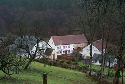
Biermühle am Kailbach
Field Names
Aufm Hohrech
 370 m
Chapels
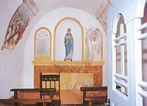
Hauskapelle Gransdorf-Biermühle
Field Names
Am Rothenberg
 520 m
Settlements
Römische Siedlungsreste
Field Names
Am Rothenberg
Field Names