Ridge-Edge Castles · Celtic / Roman Period
Buerberg - Befestigungsanlage, Umwehrung
Höhenrandburg (doppelter Abschnittswall)
- Listed monument


© GeoBasis-DE / LVermGeoRP, dl-de/by-2-0
There is no picture of this object yet. Do you have a photo that you would like to make available to the Kulturdatenbank? Submit a picture
Description
This description is only available in German.
Translate with Google opens this page in Google Translate (external service)
Die Zugangsseite im Nordwesten war besonders befestigt. Hier zeichnen sich vor der weitgehend ausgebrochenen Umwehrung ein 15 m langer, rund 4 m breiter und noch bis zu 1 m tiefer Abschnittsgraben ab. Davor liegt eine wallartige Aufschüttung (Breite 5 m, Höhe bis 1 m) eventuell auch ein zweiter schwächerer Graben. [1]
Classification
- Subject area
- Archaeological Monuments
- Object type
- Ridge-Edge Castles
- Date
- Circa 500 vor Chr. bis circa 500 nach Chr.
- Period
- Celtic / Roman Period
Location
- District
- Vulkaneifel
- Collective municipality
- Daun
- Municipality
- Schutz
- Field name
- Burgberg, Berens-Kopf, Burberg
- Coordinates
- WGS 84: 50.133613, 6.750010 (Position: exact) WGS 84: 50° 08′ 01.0″ N, 6° 45′ 00.0″ E UTM 32 (ETRS89): E 339204 · N 5555910
Sources
Data sources
- [1] Info-Tafel vor Ort
On the internet
Last edited: 1 Oct 2019 Object ID: 48505
https://kulturdb.de/en/objekt/48505-schutz-buerberg-befestigungsanlage-umwehrung
Nearby
The nearest objects
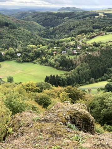 110 m
Viewpoints
Aussichtspunkt Buerberg
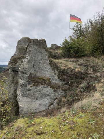 120 m
Volcanoes
Gipfel des Buerberges
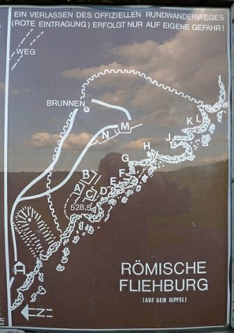 130 m
Ridge-Edge Castles
Buerberg - Befestigungsanlage
 130 m
Ridge-Edge Castles
Buerberg - Reste von Befestigungswerken
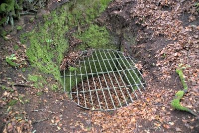 180 m
Ridge-Edge Castles
Buerberg - Zisterne
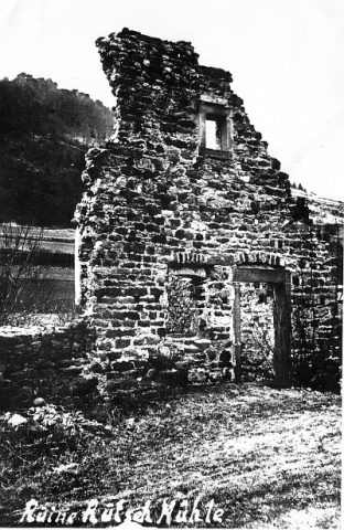 360 m
Mills
Rutschmühle
Field Names
Bornewies
Field Names