Wayside Shrines and Stations of the Cross · Undated
Matheisbildchen


Classification
- Subject area
- Architectural and Art Monuments
- Category
- Religious Buildings
- Object type
- Wayside Shrines and Stations of the Cross
- Date
- Undatiert
- Period
- Undated
Location
- District
- Bernkastel-Wittlich
- Town
- Bernkastel-Kues
- Locality / location
- Bernkastel
- Field name
- Hinterm Matheisbildchen
- Coordinates
- WGS 84: 49.923870, 7.072226 (Position: exact) WGS 84: 49° 55′ 25.9″ N, 7° 04′ 20.0″ E UTM 32 (ETRS89): E 361628 · N 5531948
Sources
Data sources
- [1] GeoPortal des Landes Rheinland-Pfalz. http://www.geoportal.rlp.de/
On the internet
de.wikipedia.org/wiki/Bernkastel-Kues
Picture credits
Last edited: 2 Sep 2025 Object ID: 48514
https://kulturdb.de/en/objekt/48514-bernkastel-kues-matheisbildchen
Nearby
The nearest objects
No picture
50 m
Vineyard Sites
Rosenberg
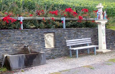 60 m
Wayside Shrines and Stations of the Cross
Sogenanntes Steffens-Kreuz
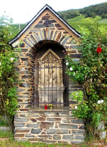 80 m
Wayside Shrines and Stations of the Cross
Bildstock
No picture
80 m
Vineyard Sites
Matheisbildchen
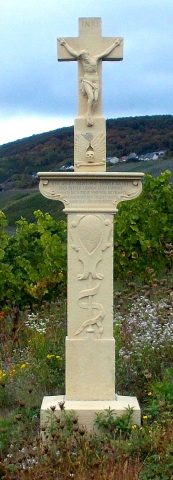 130 m
Wayside Shrines and Stations of the Cross
Wegekreuz
 170 m
Field Names
Im Haargarten
No picture
240 m
Vineyard Sites
Leiterbäumchen
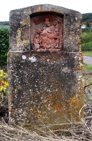 260 m
Wayside Shrines and Stations of the Cross