Vineyard Sites · Undated
Matheisbildchen


© GeoBasis-DE / LVermGeoRP, dl-de/by-2-0
There is no picture of this object yet. Do you have a photo that you would like to make available to the Kulturdatenbank? Submit a picture
Description
This description is only available in German.
Translate with Google opens this page in Google Translate (external service)
Die Lage "Bernkasteler Matheisbildchen" ist nach dem Apostel Matthias benannt. Dies ist ein weiteres Überbleibsel der kirchlichen Dominanz im Weinbau der Mosel, die bis zu den Zeiten Napoleons reichte. Unter dessen Ägide wurden die kirchlichen Besitztümer großflächig verweltlicht und gingen in den Besitz der Bürger des Moseltals über. [1]
Classification
- Subject area
- History
- Category
- Vineyard Sites
- Date
- Undatiert
- Period
- Undated
Location
- District
- Bernkastel-Wittlich
- Town
- Bernkastel-Kues
- Locality / location
- Bernkastel
- Field name
- Unterm Ofenpfad
- Coordinates
- WGS 84: 49.924598, 7.072220 (Position: exact) WGS 84: 49° 55′ 28.6″ N, 7° 04′ 20.0″ E UTM 32 (ETRS89): E 361630 · N 5532029
Sources
Data sources
- [1] https://www.vinaet.de/universum-vinum/mosel/mittelmosel/bernkastele…
- [2] Einzellagen Rheinland-Pfalz lt. Weinbergsrolle der Landwirtschaftskammer RLP ©Landwirtschaftskammer RLP (2022), dl-de/by-2-0, http://www.weinlagen.lwk-rlp.de [Daten bearbeitet]; Es gelten folgende Regelungen zu Gewährleistung und Haftung; URL: http://weinlagen.lwk-rlp.de/portal/nutzungsbedingungen/gewaehrleist…
On the internet
Last edited: 25 Dec 2022 Object ID: 52131
https://kulturdb.de/en/objekt/52131-bernkastel-kues-matheisbildchen
Nearby
The nearest objects
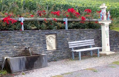 30 m
Wayside Shrines and Stations of the Cross
Sogenanntes Steffens-Kreuz
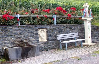 80 m
Wayside Shrines and Stations of the Cross
Matheisbildchen
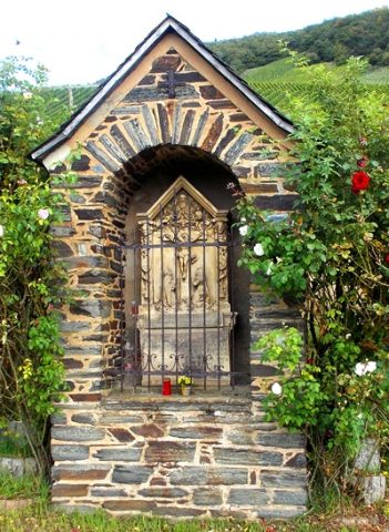 100 m
Wayside Shrines and Stations of the Cross
Bildstock
Vineyard Sites
Rosenberg
Field Names
Hinter Klingelborn
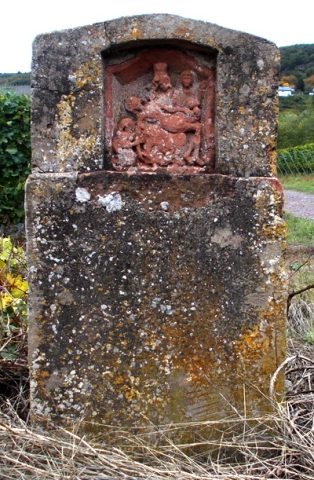 180 m
Wayside Shrines and Stations of the Cross
Heiligenhäuschen
 210 m
Wayside Shrines and Stations of the Cross
Wegekreuz
 240 m
Field Names