Deserted Settlements · Neoclassicism
Oberbrubach


© GeoBasis-DE / LVermGeoRP, dl-de/by-2-0
There is no picture of this object yet. Do you have a photo that you would like to make available to the Kulturdatenbank? Submit a picture
Description
This description is only available in German.
Translate with Google opens this page in Google Translate (external service)
Bewohner des Hofes (1 Wohnhaus) 1843: 15 Personen (männlich: 9, weiblich: 6, alle katholisch). [1]
Classification
- Subject area
- Archaeological Monuments
- Category
- Settlements
- Object type
- Deserted Settlements
- Date
- 1843
- Period
- Neoclassicism
Location
- District
- City of Trier
- Collective municipality
- Verbandsfreie Gemeinde Trier
- Town
- Trier
- Locality / location
- Mariahof
- Street
- Brubacher Hof
- Field name
- Ortslage
- Coordinates
- WGS 84: 49.724286, 6.666874 (Position: exact) WGS 84: 49° 43′ 27.4″ N, 6° 40′ 00.7″ E UTM 32 (ETRS89): E 331845 · N 5510589
Sources
Data sources
- [1] Georg Bärsch: Beschreibung des Regierungsbezirks Trier, 2. Theil, 1846.
- [2] Preußische Kartenaufnahme 1:25000 Uraufnahme (1843-1878), Blatt.: 3476, von 1850 © GeoBasis-DE / LVermGeoRP 2016, dl-de/by-2-0, www.lvermgeo.rlp.de
On the internet
Last edited: 10 Nov 2019 Object ID: 48600
https://kulturdb.de/en/objekt/48600-trier-oberbrubach
Nearby
The nearest objects
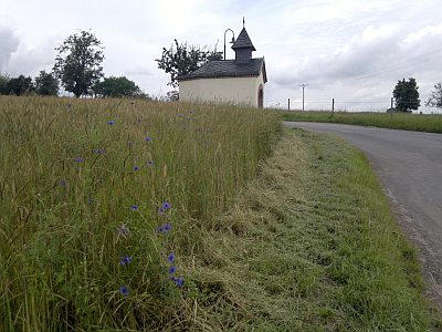 130 m
Chapels
Brubacher Kapellchen
Field Names
Im Roth
Field Names
Nonnenwald
Field Names
Auf Nonnenwald
Field Names
Aufm Goldkäulchen
Field Names
Goldkäulchen
 780 m
Street Names
Klausenerstraße
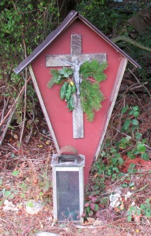 880 m
Wayside Shrines and Stations of the Cross