Wayside Shrines and Stations of the Cross · Undated
Wegekreuz


Classification
- Subject area
- Architectural and Art Monuments
- Category
- Religious Buildings
- Object type
- Wayside Shrines and Stations of the Cross
- Date
- Undatiert
- Period
- Undated
Location
- District
- City of Trier
- Collective municipality
- Verbandsfreie Gemeinde Trier
- Town
- Trier
- Locality / location
- Kernscheid
- Field name
- Rondbüsch
- Coordinates
- WGS 84: 49.716760, 6.670650 (Position: exact) WGS 84: 49° 43′ 00.3″ N, 6° 40′ 14.3″ E UTM 32 (ETRS89): E 332091 · N 5509744
Sources
Data sources
- [1] GeoPortal des Landes Rheinland-Pfalz. http://www.geoportal.rlp.de/
On the internet
de.wikipedia.org/wiki/Trier-Kernscheid
Picture credits
Last edited: 5 Oct 2020 Object ID: 26758
https://kulturdb.de/en/objekt/26758-trier-wegekreuz
Nearby
The nearest objects
No picture
340 m
Field Names
Mühlgrund
No picture
380 m
Forest Names
Domherrn-Wald
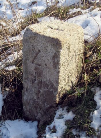 560 m
Surveying
Trigonometrischer Punkt "Auf der Höhe"
No picture
670 m
Field Names
Goldkäulchen
No picture
860 m
Field Names
Nonnenwald
No picture
880 m
Field Names
Auf Nonnenwald
No picture
880 m
Deserted Settlements
Oberbrubach
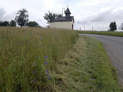 890 m
Chapels