Oratoires et stations du chemin de croix · Non daté
Wegekreuz


Classification
- Catégorie
- Édifices religieux
- Type d'objet
- Oratoires et stations du chemin de croix
- Date
- Undatiert
- Période
- Non daté
Localisation
- Arrondissement
- Ville de Trèves
- Communauté de communes
- Verbandsfreie Gemeinde Trier
- Ville
- Trier
- Localité / emplacement
- Kernscheid
- Lieu-dit
- Rondbüsch
- Coordonnées
- WGS 84 : 49.716760, 6.670650 (Position : exacte) WGS 84 : 49° 43′ 00,3″ N, 6° 40′ 14,3″ E UTM 32 (ETRS89) : E 332091 · N 5509744
Sources
Sources des données
- [1] GeoPortal des Landes Rheinland-Pfalz. http://www.geoportal.rlp.de/
Sur Internet
de.wikipedia.org/wiki/Trier-Kernscheid
Crédits photos
Dernière modification : 5 oct. 2020 Identifiant de l'objet : 26758
https://kulturdb.de/fr/objekt/26758-trier-wegekreuz
À proximité
Les objets les plus proches
Pas d'image
340 m
Lieux-dits
Mühlgrund
Pas d'image
380 m
Noms de forêts
Domherrn-Wald
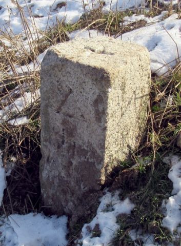 560 m
Arpentage
Trigonometrischer Punkt "Auf der Höhe"
Pas d'image
670 m
Lieux-dits
Goldkäulchen
Pas d'image
860 m
Lieux-dits
Nonnenwald
Pas d'image
880 m
Lieux-dits
Auf Nonnenwald
Pas d'image
880 m
Villages disparus
Oberbrubach
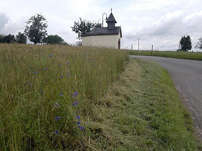 890 m
Chapelles