Forest Names · Historicism / Art Nouveau
Domherrn-Wald


© GeoBasis-DE / LVermGeoRP, dl-de/by-2-0
There is no picture of this object yet. Do you have a photo that you would like to make available to the Kulturdatenbank? Submit a picture
Description
This description is only available in German.
Translate with Google opens this page in Google Translate (external service)
Besitz einer Domkirche oder sonst einer bedeutenden (Stifts-, Kollegiat-) Kirche. [2]
Classification
- Subject area
- History
- Category
- Field Names
- Object type
- Forest Names
- Date
- 1891
Location
- District
- City of Trier
- Collective municipality
- Verbandsfreie Gemeinde Trier
- Town
- Trier
- Locality / location
- Kernscheid
- Field name
- Auf der Höhe
- Coordinates
- WGS 84: 49.717454, 6.675852 (Position: exact) WGS 84: 49° 43′ 02.8″ N, 6° 40′ 33.1″ E UTM 32 (ETRS89): E 332468 · N 5509809
Sources
Data sources
- [1] Grebe, Heinrich, 1891: "Geologische Spezialkarte von Preussen und den Thüringischen Staaten" und Nachfolgewerke; [Neue Nr.6206]; Pfalzel; Gradabteilung 80, Blatt 15. Kraatz, Berlin, DOI 10.23689/fidgeo-3842.
- [2] Dittmaier, Heinrich: Rheinische Flurnamen. Ludwig Röhrscheid Verlag, Bonn, 1963.
On the internet
Last edited: 4 Jul 2021 Object ID: 50661
https://kulturdb.de/en/objekt/50661-trier-domherrn-wald
Nearby
The nearest objects
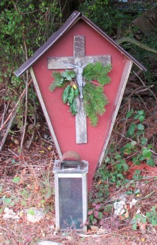 380 m
Wayside Shrines and Stations of the Cross
Wegekreuz
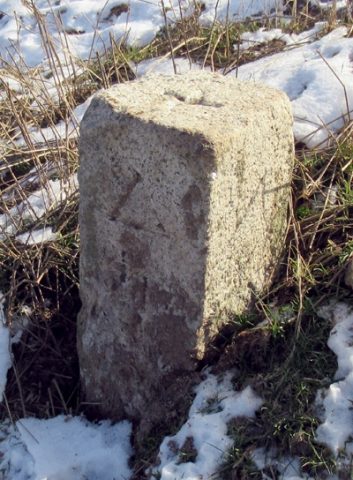 540 m
Surveying
Trigonometrischer Punkt "Auf der Höhe"
Field Names
Auf Gruf
Street Names
Zum Domherrenwald
Field Names
Mühlgrund
Street Names
Morgenweg
Field Names
Auf Nonnenwald
Field Names