Viewpoints · Undated
Aussichtspunkt

Classification
- Subject area
- Natural Features
- Category
- Viewpoints
- Date
- Undatiert
- Period
- Undated
Location
- District
- City of Trier
- Collective municipality
- Verbandsfreie Gemeinde Trier
- Town
- Trier
- Locality / location
- Ehrang-Quint
- Street
- Hintere Heide
- Field name
- Im Krischeldorn
- Coordinates
- WGS 84: 49.814995, 6.689781 (Position: exact) WGS 84: 49° 48′ 54.0″ N, 6° 41′ 23.2″ E UTM 32 (ETRS89): E 333806 · N 5520622
Sources
Data sources
- [1] Wanderkarten im Maßstab 1:50.000 und 1:25.000.
On the internet
Picture credits
- Picture 1: © Michael Grün, Trier, 2019.
Last edited: 19 Nov 2019 Object ID: 48662
https://kulturdb.de/en/objekt/48662-trier-aussichtspunkt
Nearby
The nearest objects
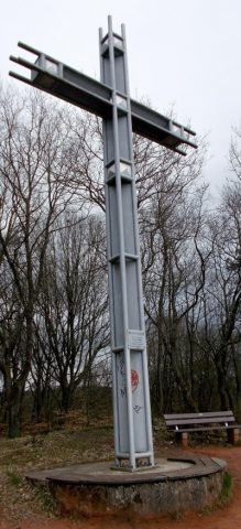 less than 10 m
Wayside Shrines and Stations of the Cross
Pastor-Mohr-Kreuz
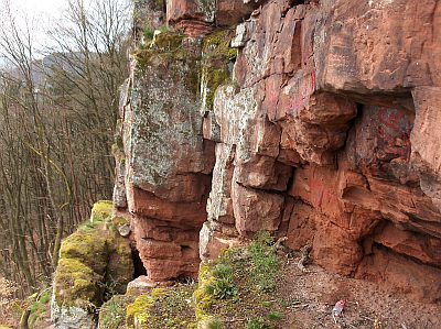 20 m
Rocks
Buntsandsteinfelsen Heidenstuben
No picture
110 m
Vineyard Sites
Im Stadterberg
No picture
140 m
Field Names
Im Krischeldorn
No picture
190 m
Field Names
Unter dem Stadterberg
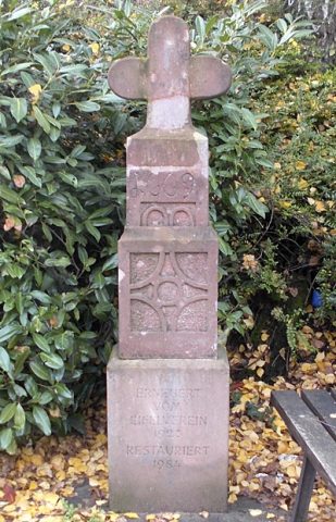 240 m
Wayside Shrines and Stations of the Cross
Unfallkreuz von 1669
No picture
240 m
Vineyard Sites
Im Herrenberg
No picture
290 m
Vineyard Sites