Rocks · Undated
Buntsandsteinfelsen Heidenstuben
Naturdenkmal
- Listed monument


Description
This description is only available in German.
Translate with Google opens this page in Google Translate (external service)
Die in der Felsformation vorhandenen Höhlen wurden vermutlich in vorgeschichtlicher Zeit von unseren Vorfahren als Unterkunft benutzt. Während des 2. Weltkrieges dienten die Höhlen Ehranger Bürgerinnen und Bürgern als Unterschlupf. [1]
Classification
- Subject area
- Natural Features
- Category
- Rocks
- Date
- Undatiert
- Period
- Undated
Location
- District
- City of Trier
- Collective municipality
- Verbandsfreie Gemeinde Trier
- Town
- Trier
- Locality / location
- Ehrang-Quint
- Field name
- Im Krischeldorn
- Coordinates
- WGS 84: 49.814848, 6.689624 (Position: exact) WGS 84: 49° 48′ 53.5″ N, 6° 41′ 22.6″ E UTM 32 (ETRS89): E 333795 · N 5520606
Sources
Data sources
- [1] Meilenstein, Stadteilzeitung Ehrang-Quint, Ausgabe 4/2015.
On the internet
Picture credits
Last edited: 6 Apr 2016 Object ID: 4906
https://kulturdb.de/en/objekt/4906-trier-buntsandsteinfelsen-heidenstuben
Nearby
The nearest objects
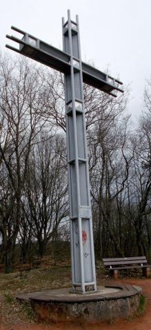 20 m
Wayside Shrines and Stations of the Cross
Pastor-Mohr-Kreuz
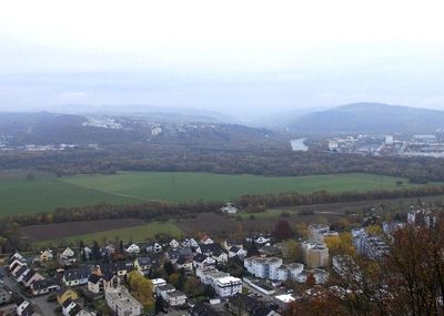 20 m
Viewpoints
Aussichtspunkt
Vineyard Sites
Im Stadterberg
Field Names
Im Krischeldorn
Field Names
Unter dem Stadterberg
Vineyard Sites
Im Herrenberg
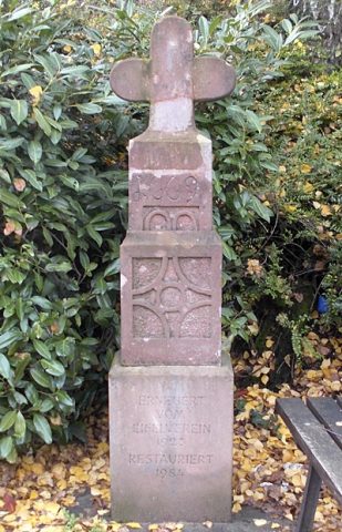 230 m
Wayside Shrines and Stations of the Cross
Unfallkreuz von 1669
Vineyard Sites