Wayside Shrines and Stations of the Cross · Undated
Wegekreuz


Description
This description is only available in German.
Translate with Google opens this page in Google Translate (external service)
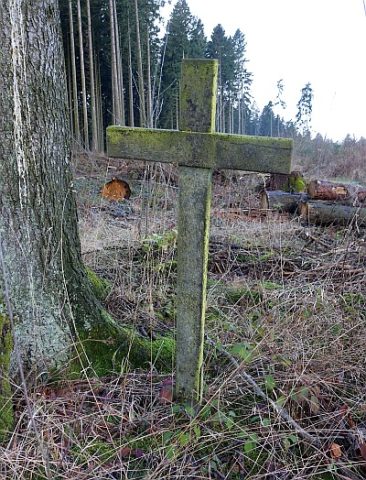
Schlichtes Holzkreuz ohne Inschrift. Eines von ursprünglich sieben Kreuzen, von denen nur noch vier erhalten sind. Sie wurden in gewissen Abständen eines Waldweges aufgestellt, der von der Gemeinde Gefell (bei Kelberg) aus zur Hilgerather Kirche führte. Gefell gehörte früher zum Kirchspiel Hilgerath. Starb jemand in Gefell, dann wurde der/die Tote über diesen Weg zum Kirchhof Hilgerath gebracht. An den Kreuzen hielt die Trauergemeinde an, um zu beten. [1]
Classification
- Subject area
- Architectural and Art Monuments
- Category
- Religious Buildings
- Object type
- Wayside Shrines and Stations of the Cross
- Date
- Undatiert
- Period
- Undated
Location
- District
- Vulkaneifel
- Collective municipality
- Kelberg
- Municipality
- Katzwinkel
- Field name
- Am Sarmersbacher Kreuz
- Coordinates
- WGS 84: 50.243713, 6.903698 (Position: exact) WGS 84: 50° 14′ 37.4″ N, 6° 54′ 13.3″ E UTM 32 (ETRS89): E 350531 · N 5567831
Sources
Data sources
- [1] Franz-Josef Dosio, Wierschem und Alfred Gundert, Gefell, 2019.
On the internet
Picture credits
Last edited: 12 Dec 2019 Object ID: 48804
https://kulturdb.de/en/objekt/48804-katzwinkel-wegekreuz
Nearby
The nearest objects
 180 m
Wayside Shrines and Stations of the Cross
Sarmersbacher Kreuz
Field Names
Aspelner Haide
Field Names
Beim Wüstenborn
Field Names
Aspelner Haide
 340 m
Wayside Shrines and Stations of the Cross
Wegekreuz
Field Names
Im Obern Hundswinkel
 500 m
Wayside Shrines and Stations of the Cross
Wegekreuz
Field Names