Forest Names · Historicism / Art Nouveau
Königlicher Forst Gerolstein


© GeoBasis-DE / LVermGeoRP, dl-de/by-2-0
There is no picture of this object yet. Do you have a photo that you would like to make available to the Kulturdatenbank? Submit a picture
Classification
- Subject area
- History
- Category
- Field Names
- Object type
- Forest Names
- Date
- 1895
Location
- District
- Eifelkreis Bitburg-Prüm
- Collective municipality
- Bitburger Land
- Municipality
- Seinsfeld
- Field name
- Am Killburger Berg
- Coordinates
- WGS 84: 50.070566, 6.663458 (Position: exact) WGS 84: 50° 04′ 14.0″ N, 6° 39′ 48.4″ E UTM 32 (ETRS89): E 332800 · N 5549092
Sources
Data sources
- [1] Topographische Karte 1:25000 von 1895 https://geo4.service24.rlp.de/client/lf/lawa/
On the internet
Last edited: 7 Mar 2020 Object ID: 49309
https://kulturdb.de/en/objekt/49309-seinsfeld-koeniglicher-forst-gerolstein
Nearby
The nearest objects
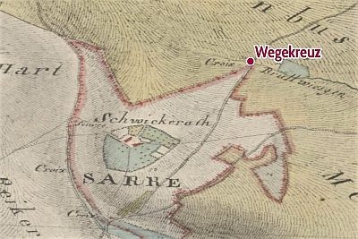 870 m
Wayside Shrines and Stations of the Cross
Hubertuskreuz
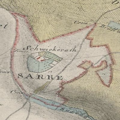 950 m
Place Names / Local History
Schwickerather Hof
No picture
980 m
Wayside Shrines and Stations of the Cross
Ehemaliges Wegekreuz
No picture
1.1 km
Field Names
In den Brüchern
No picture
1.1 km
Wayside Shrines and Stations of the Cross
Ehemaliges Wegekreuz
No picture
1.2 km
Lime Kilns
Ehemaliger Kalkofen
No picture
1.4 km
Field Names
Hinter Bläsgesstock
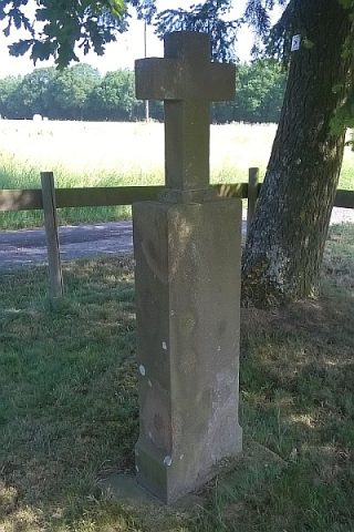 1.5 km
Wayside Shrines and Stations of the Cross