Viewpoints · Undated
Aussichtspunkt am Wackisch Kreuz


Description
This description is only available in German.
Translate with Google opens this page in Google Translate (external service)
Ursprünglicher Standort des Kreuzes etwa 20m nördlich. Der Name Wackisch Kreuz kommt von einem benachbarten Gewann. [2]
Classification
- Subject area
- Natural Features
- Category
- Viewpoints
- Date
- Undatiert
- Period
- Undated
Location
- District
- Trier-Saarburg
- Collective municipality
- Trier-Land
- Municipality
- Zemmer
- Locality / location
- Schleidweiler
- Field name
- Im Friedbüsch
- Coordinates
- WGS 84: 49.884422, 6.693264 (Position: exact) WGS 84: 49° 53′ 03.9″ N, 6° 41′ 35.8″ E UTM 32 (ETRS89): E 334295 · N 5528332
Sources
Data sources
- [1] Annegrethe Berg, Zemmer, 2020.
- [2] Topographische Karte 1:25000 von 1910 https://geo4.service24.rlp.de/client/lf/lawa/
On the internet
Picture credits
Last edited: 17 Apr 2023 Object ID: 49499
https://kulturdb.de/en/objekt/49499-zemmer-aussichtspunkt-am-wackisch-kreuz
Nearby
The nearest objects
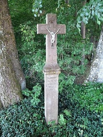 less than 10 m
Wayside Shrines and Stations of the Cross
Wackisch Kreuz
Find Sites
Römische Fundstelle
Field Names
Auf der Frohn
Field Names
Am Frohnborn
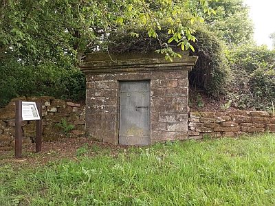 440 m
Water Supply
Wasserhochbehälter
Viewpoints
Aussichtspunkt
Forest Names
Im Friedbüsch
Extraction and Processing of Raw Materials