Ferries · Gothic
Ehemalige Fähre durch die Sauer


© GeoBasis-DE / LVermGeoRP, dl-de/by-2-0
There is no picture of this object yet. Do you have a photo that you would like to make available to the Kulturdatenbank? Submit a picture
Description
This description is only available in German.
Translate with Google opens this page in Google Translate (external service)
Schon relativ früh, nämlich 1383, begegnet uns der erste urkundliche Hinweis auf eine Fähre in Wintersdorf. [1]
Classification
- Subject area
- Architectural and Art Monuments
- Category
- Economy, Trade and Transport
- Object type
- Ferries
- Date
- 1383
- Period
- Gothic
Location
- District
- Trier-Saarburg
- Collective municipality
- Trier-Land
- Municipality
- Ralingen
- Locality / location
- Wintersdorf
- Street
- Ringstraße
- Field name
- [Sauer]
- Coordinates
- WGS 84: 49.787311, 6.507283 (Position: exact) WGS 84: 49° 47′ 14.3″ N, 6° 30′ 26.2″ E UTM 32 (ETRS89): E 320577 · N 5517965
Sources
Data sources
- [1] Bodo Bölkow: Chronik der Gemeinde Ralingen. Band 1, Ortsteile Wintersdorf und Kersch, 1988. ISBN 3-923 794-07-x
On the internet
Last edited: 24 Jun 2020 Object ID: 49562
https://kulturdb.de/en/objekt/49562-ralingen-ehemalige-faehre-durch-die-sauer
Nearby
The nearest objects
Fortresses and Bunkers
Westwall - MG-Dreifachschartenstand
Settlements
Fränkische Hofgruppe
Fortresses and Bunkers
Westwall - MG-Dreifachschartenstand
 240 m
Chapels
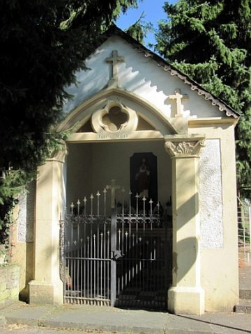
Marienkapelle am Sauerufer
Walnut Trees
Walnussbäume
Field Names
In der Bornwies
Lime Trees
Lindengruppe am ehemaligen Bahnhofsgebäude
Burial Mounds