Raised Bogs · 20th Century
Hochmoor Bragphenn
Naturdenkmal
- Listed monument

Description
This description is only available in German.
Translate with Google opens this page in Google Translate (external service)
1,5 km südlich von Ormont liegt das Brackvenn.
Ein Hochmoor, entstanden vor etwa 7000 Jahren. Hier findet man seltene Pflanzen wie Wollgras, Arnika, Moosbeere, Atlantische Glockenheide, Sumpfblutauge, Sonnentau und Orchideen. Während die Flora hier gut dokumentiert wurde, ist die Fauna leider noch nicht erforscht.
Im 19. Jahrhundert wurde im Hochmoor sehr guter Torf gestochen, der einen bedeutenden Absatz, besonders nach Prüm fand.
Ein Knüppeldamm, welcher demnächst erneuert wird, ermöglicht einen gefahrlosen Spaziergang durch dieses herrliche Kleinod der Natur. [1]
Classification
- Subject area
- Natural Features
- Category
- Bogs and Mires
- Object type
- Raised Bogs
- Date
- 30.07.1965 [Unterschutzstellung]
- Period
- 20th Century
Location
- District
- Vulkaneifel
- Collective municipality
- Gerolstein
- Municipality
- Ormont
- Locality / location
- Neuenstein
- Field name
- Im Bragphenn
- Coordinates
- WGS 84: 50.311960, 6.440540 (Position: exact) WGS 84: 50° 18′ 43.1″ N, 6° 26′ 25.9″ E UTM 32 (ETRS89): E 317772 · N 5576450
Sources
Data sources
- [1] Rita Gehendges: Naturdenkmale des Landkreises Daun. 1985. Hrsg.: Landkreis Daun.
On the internet
Picture credits
- Picture 1: Peter Valerius, Kordel, 2005.
Last edited: 17 Apr 2018 Object ID: 4972
https://kulturdb.de/en/objekt/4972-ormont-hochmoor-bragphenn
Nearby
The nearest objects
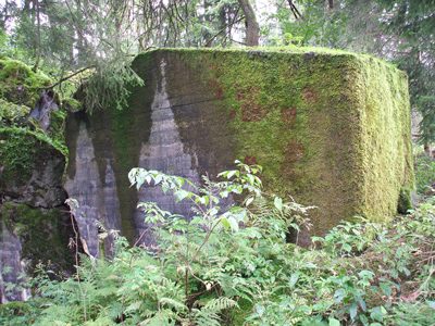 100 m
Fortresses and Bunkers
Westwall - Bunker
Fortresses and Bunkers
Westwall - Schartenstand
 110 m
Peat Cuttings
Torfabbau im Bragphenn
Fortresses and Bunkers
Westwall - Bunker
Field Names
Auf der Rodung
Fortresses and Bunkers
Westwall - Schartenstand
Fortresses and Bunkers
Westwall - Schartenstand
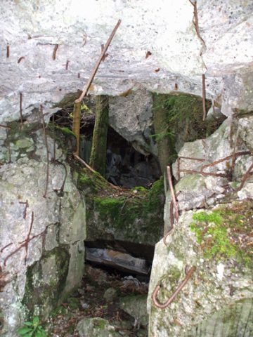 690 m
Fortresses and Bunkers