Vineyard Sites · Renaissance
Im Krahnen


© GeoBasis-DE / LVermGeoRP, dl-de/by-2-0
There is no picture of this object yet. Do you have a photo that you would like to make available to the Kulturdatenbank? Submit a picture
Description
This description is only available in German.
Translate with Google opens this page in Google Translate (external service)
Im Krahnen (1856), mundartlich am Krunen. Frühes Vorkommen des Flurnamens im Jahre 1550: ein wingart 'an dem krannen' und 'uff dem krannen'. Später Wingert oder Wiesen 'im Krahnen' (1811 und 1856). Name (noch) nicht erklärbar. Vielleicht die Größe des Weinbergs andeutend, etwa 'de grandi vinea'? Dazu evtl. 'Im Granen' (1737/77). [1]
Classification
- Subject area
- History
- Category
- Vineyard Sites
- Date
- 1550
- Period
- Renaissance
Location
- District
- City of Trier
- Collective municipality
- Verbandsfreie Gemeinde Trier
- Town
- Trier
- Locality / location
- Ehrang-Quint
- Street
- Oberstraße
- Field name
- Im Krahnen
- Coordinates
- WGS 84: 49.810920, 6.682436 (Position: exact) WGS 84: 49° 48′ 39.3″ N, 6° 40′ 56.8″ E UTM 32 (ETRS89): E 333264 · N 5520185
Sources
Data sources
- [1] Werner Schuhn: Ehrang. Landschaft, Geschichte, Gegenwart. Trier, 1989. Hrsg. Arbeitsgemeinschaft für Landesgeschichte und Volkskunde des Trierer Raumes. Sonderausgabe der Trierer Heimat.
On the internet
Last edited: 13 Aug 2020 Object ID: 49833
https://kulturdb.de/en/objekt/49833-trier-im-krahnen
Nearby
The nearest objects
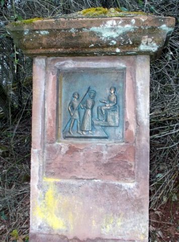 60 m
Wayside Shrines and Stations of the Cross
Kreuzweg zur Heidekapelle - 1. Station
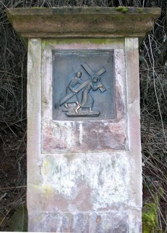 60 m
Wayside Shrines and Stations of the Cross
Kreuzweg zur Heidekapelle - 2. Station
Town Fortifications
Ehemaliges Obertor
Street Names
Am Scharfen Eck
Extraction and Processing of Raw Materials
Ehemalige Gerberei
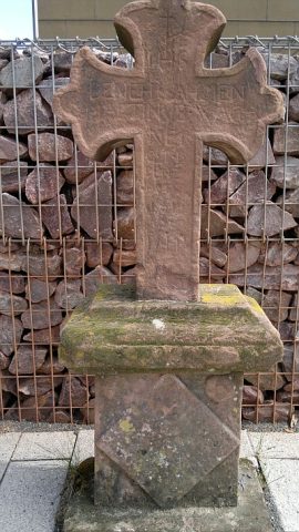 90 m
Burial Sites
Grabkreuz vom alten Gemeindefriedhof
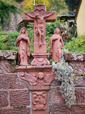 100 m
Wayside Shrines and Stations of the Cross
Sogenanntes Kieferkreuz
Street Names