Field Names · Historicism / Art Nouveau
Im Maarhübel


© GeoBasis-DE / LVermGeoRP, dl-de/by-2-0
There is no picture of this object yet. Do you have a photo that you would like to make available to the Kulturdatenbank? Submit a picture
Description
This description is only available in German.
Translate with Google opens this page in Google Translate (external service)
Maar, mundartlich Moar, aus lat. mare = stehendes Gewasser, auch: Teich. 'Maarwies' und 'Maarhübel' erscheinen 1811 entspr. mundartlich Form, als 'Moorwies' und 'Moorhübel'.
Hübel = Hügel; Pfalzeler Weg heute Servaisstraße. [1]
Classification
- Subject area
- History
- Category
- Field Names
- Date
- 1856
Location
- District
- City of Trier
- Collective municipality
- Verbandsfreie Gemeinde Trier
- Town
- Trier
- Locality / location
- Ehrang-Quint
- Street
- Seraisstraße
- Field name
- [Bahngelände]
- Coordinates
- WGS 84: 49.801477, 6.686892 (Position: exact) WGS 84: 49° 48′ 05.3″ N, 6° 41′ 12.8″ E UTM 32 (ETRS89): E 333552 · N 5519125
Sources
Data sources
- [1] Werner Schuhn: Ehrang. Landschaft, Geschichte, Gegenwart. Trier, 1989. Hrsg. Arbeitsgemeinschaft für Landesgeschichte und Volkskunde des Trierer Raumes. Sonderausgabe der Trierer Heimat.
On the internet
Last edited: 13 Aug 2020 Object ID: 49897
https://kulturdb.de/en/objekt/49897-trier-im-maarhuebel
Nearby
The nearest objects
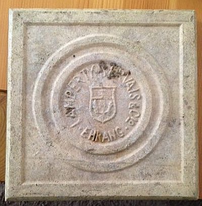 20 m
Street Names
Servaisstraße
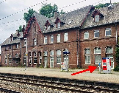 110 m
Surveying
Bahnhof Ehrang - Höhenpunkt
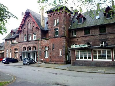 120 m
Railways
Bahnhof Ehrang
Field Names
Maarwies
Field Names
Oben bei der Maarwies
Field Names
Tiefsleder
Field Names
Unter dem Maarhübel durch den Pfalzerweg
Field Names