Monuments · 20th Century
Gedenkstein 1250 Jahre Daun


© GeoBasis-DE / LVermGeoRP, dl-de/by-2-0
There is no picture of this object yet. Do you have a photo that you would like to make available to the Kulturdatenbank? Submit a picture
Description
This description is only available in German.
Translate with Google opens this page in Google Translate (external service)
Classification
- Subject area
- History
- Category
- Markers and Monuments
- Object type
- Monuments
- Date
- 1981
- Period
- 20th Century
Location
- District
- Vulkaneifel
- Town
- Daun
- Locality / location
- Gemünden
- Street
- Maarstraße
- Field name
- Ortslage
- Coordinates
- WGS 84: 50.184095, 6.833885 (Position: exact) WGS 84: 50° 11′ 02.7″ N, 6° 50′ 02.0″ E UTM 32 (ETRS89): E 345361 · N 5561345
Sources
Data sources
- [1] Geodaten von OpenStreetMap die freie Weltkarte. http://www.openstreetmap.org CC-BY-SA, 2018.
On the internet
Last edited: 30 Oct 2020 Object ID: 50129
https://kulturdb.de/en/objekt/50129-daun-gedenkstein-1250-jahre-daun
Nearby
The nearest objects
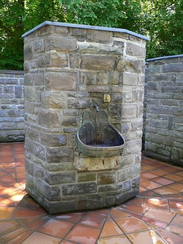 110 m
Mineral Springs
Trinkstelle der Dunaris Quelle
Mineral Springs
Mineralbrunnen Dauner Sprudel (4)
Mineral Springs
Mineralbrunnen Dauner Sprudel (3)
Mineral Springs
Mineralbrunnen Dauner Sprudel (2)
 310 m
Mineral Springs
Mineralbrunnen Dauner Sprudel (1)
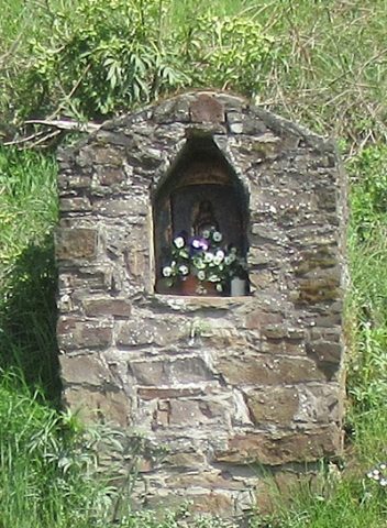 310 m
Wayside Shrine Houses
Heiligenhäuschen
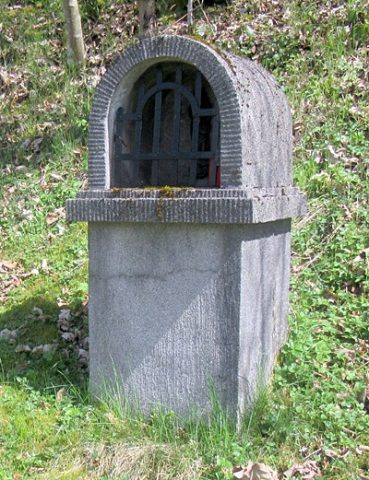 320 m
Wayside Shrine Houses
Heiligenhäuschen
Field Names