Chestnut Trees · 20th Century
Kastanie
Naturdenkmal
- Listed monument

Description
This description is only available in German.
Translate with Google opens this page in Google Translate (external service)
Classification
- Subject area
- Natural Features
- Category
- Trees
- Object type
- Chestnut Trees
- Date
- 01.12.1941 [Unterschutzstellung]
- Period
- 20th Century
Location
- District
- Vulkaneifel
- Collective municipality
- Gerolstein
- Municipality
- Birresborn
- Street
- Friedhofsweg
- Field name
- In der Aue
- Coordinates
- WGS 84: 50.171520, 6.625250 (Position: exact) WGS 84: 50° 10′ 17.5″ N, 6° 37′ 30.9″ E UTM 32 (ETRS89): E 330424 · N 5560401
Sources
Data sources
- [1] LANIS - Landschaftsinformationssysten der Naturschutzverwaltung Rheinland-Pfalz, 2015. [2] http://www.naturschutz.rlp.de/?q=naturdenkmal
- [2] Rita Gehendges: Naturdenkmale des Landkreises Daun. 1985. Hrsg.: Landkreis Daun.
On the internet
birresborn.de/naturdenkmal.asp?=
Picture credits
- Picture 1: Peter Valerius, Kordel, 2005.
Last edited: 21 May 2015 Object ID: 5013
https://kulturdb.de/en/objekt/5013-birresborn-kastanie
Nearby
The nearest objects
 30 m
Chestnut Trees
Kastanie
30 m
Chestnut Trees
Kastanie
No picture
60 m
War Cemeteries
Ehrenfriedhof
No picture
80 m
Wayside Shrines and Stations of the Cross
Ehemaliges Kreuz auf der Friedhofsmauer
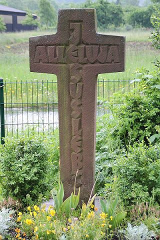 290 m
Wayside Shrines and Stations of the Cross
Kreuz Auf dem Maibaum
No picture
300 m
Farmhouses and Farm Buildings
Putzbau
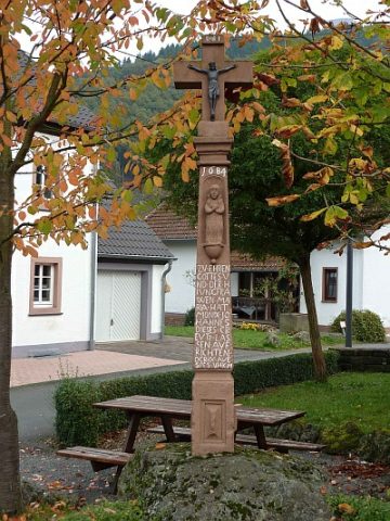 320 m
Wayside Shrines and Stations of the Cross
Monixkreuz
No picture
330 m
Farmhouses and Farm Buildings