Field Names · Undated
Hinter den Kyllgärten


© GeoBasis-DE / LVermGeoRP, dl-de/by-2-0
There is no picture of this object yet. Do you have a photo that you would like to make available to the Kulturdatenbank? Submit a picture
Description
This description is only available in German.
Translate with Google opens this page in Google Translate (external service)
Kyll – Bedeutung: Vielleicht rührt die Benennung des Flusses als 'dunkel, schwarz' vom Kyllwald her. (vgl. Schwarzwald). [1]
Classification
- Subject area
- History
- Category
- Field Names
- Date
- Undatiert
- Period
- Undated
Location
- District
- Vulkaneifel
- Collective municipality
- Gerolstein
- Municipality
- Stadtkyll
- Field name
- Hinter den Kyllgärten
- Coordinates
- WGS 84: 50.352830, 6.532240 (Position: exact) WGS 84: 50° 21′ 10.2″ N, 6° 31′ 56.1″ E UTM 32 (ETRS89): E 324451 · N 5580773
Sources
Data sources
- [1] Albrecht Greule: Deutsches Gewässernamenbuch: Etymologie der Gewässernamen und der zugehörigen Gebiets-, Siedlungs- und Flurnamen. De Gruyter, De Gruyter Mouton, Berlin/Boston, 2014.
On the internet
Last edited: 2 Nov 2020 Object ID: 50166
https://kulturdb.de/en/objekt/50166-stadtkyll-hinter-den-kyllgaerten
Nearby
The nearest objects
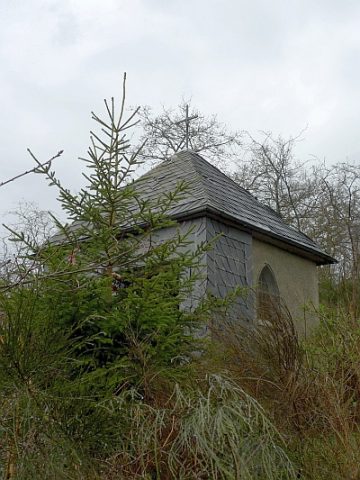 150 m
Chapels
Lambertus-Kapelle
Field Names
Am Lachrech
Mills
Ehemalige Sägemühle
Field Names
In den Kyllgärten
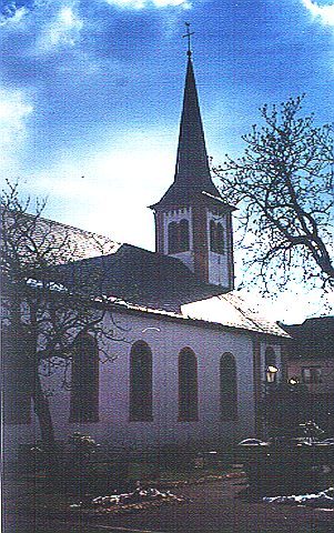 330 m
Organs
Sankt Josef - Orgel
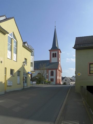 330 m
Catholic Churches
Sankt Josef
Settlements
Hubertuskapelle - Römische Spolie
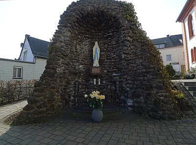 330 m
Marian Grottoes