Natural Landscapes · 20th Century
Wawerner Bruch
Naturschutzgebiet
- Listed monument

Description
This description is only available in German.
Translate with Google opens this page in Google Translate (external service)
Bei dem Gebiet handelt es sich um eine Feuchtbiotopzone mit Schilfröhricht, Großseggen-Riedern und nassen Hochstaudenfluren sowie dem Teilstück eines verlandeten Saar-Mäanders. [1]
Classification
- Subject area
- Natural Features
- Category
- Natural Landscapes
- Date
- 24.01.1990 [Unterschutzstellung]
- Period
- 20th Century
Location
- District
- Trier-Saarburg
- Collective municipality
- Konz
- Municipality
- Wawern (Trier-Saarburg)
- Locality / location
- Wawern
- Field name
- Im Bruch
- Coordinates
- WGS 84: 49.652070, 6.539511 (Position: exact) WGS 84: 49° 39′ 07.5″ N, 6° 32′ 22.2″ E UTM 32 (ETRS89): E 322403 · N 5502854
Sources
Data sources
- [1] Seite „Wawerner Bruch“. In: Wikipedia, Die freie Enzyklopädie. Bearbeitungsstand: 5. Mai 2019, 13:48 UTC. URL: https://de.wikipedia.org/w/index.php?title=Wawerner_Bruch&oldid=188… (Abgerufen: 30. November 2020, 07:01 UTC)
On the internet
Picture credits
- Picture 1: © Werner Weber, Mannebach, 2020.
Last edited: 30 Nov 2020 Object ID: 50199
https://kulturdb.de/en/objekt/50199-wawern-trier-saarburg-wawerner-bruch
Nearby
The nearest objects
Peat Cuttings
Alte Torfstiche
Field Names
Auf der Scheid beim Büsch
Peat Cuttings
Römische Baureste
Field Names
Krumme Anwand
 440 m
Field Names
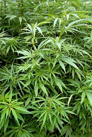
In den Hanfstückern
 490 m
Waterworks
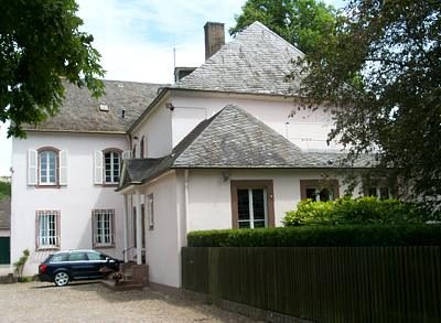
Kreiswasserwerk
 490 m
Town Parks and Public Green Spaces
Parkanlage Kreiswasserwerk
Peat Cuttings