Peat Cuttings · Celtic / Roman Period
Römische Baureste


© GeoBasis-DE / LVermGeoRP, dl-de/by-2-0
There is no picture of this object yet. Do you have a photo that you would like to make available to the Kulturdatenbank? Submit a picture
Classification
- Subject area
- Natural Features
- Category
- Bogs and Mires
- Object type
- Peat Cuttings
- Date
- Circa 500 vor Chr. bis circa 500 nach Chr.
- Period
- Celtic / Roman Period
Location
- District
- Trier-Saarburg
- Collective municipality
- Konz
- Municipality
- Wawern (Trier-Saarburg)
- Locality / location
- Wawern
- Field name
- Auf der Sängerei
- Coordinates
- WGS 84: 49.648553, 6.540931 (Position: presumed) WGS 84: 49° 38′ 54.8″ N, 6° 32′ 27.4″ E UTM 32 (ETRS89): E 322493 · N 5502460
Sources
Data sources
- [1] Grebe, Heinrich, 1877: "Geologische Spezialkarte von Preussen und den Thüringischen Staaten" und Nachfolgewerke; [Neue Nr.6305]; Saarburg; Gradabteilung 80, Blatt 20. Kraatz, Berlin, DOI 10.23689/fidgeo-3844.
On the internet
Last edited: 20 Jun 2021 Object ID: 50607
https://kulturdb.de/en/objekt/50607-wawern-trier-saarburg-roemische-baureste
Nearby
The nearest objects
No picture
70 m
Field Names
Auf der Scheid beim Büsch
No picture
360 m
Peat Cuttings
Alte Torfstiche
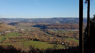 400 m
Natural Landscapes
Wawerner Bruch
No picture
500 m
Field Names
Meierhauswies
No picture
520 m
Peat Cuttings
Alte Torfstiche
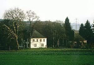 600 m
Town Parks and Public Green Spaces
Parkanlage Kreiswasserwerk
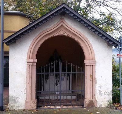 760 m
Chapels
Kapelle
No picture
840 m
Field Names