Water Supply · 20th Century
Wasserhochbehälter Wolfsberg


Classification
- Subject area
- Architectural and Art Monuments
- Category
- Water Supply
- Date
- 1970
- Period
- 20th Century
Location
- District
- City of Trier
- Collective municipality
- Verbandsfreie Gemeinde Trier
- Town
- Trier
- Locality / location
- Heiligkreuz
- Street
- Montessoriweg
- Field name
- Ortslage
- Coordinates
- WGS 84: 49.730019, 6.652463 (Position: exact) WGS 84: 49° 43′ 48.1″ N, 6° 39′ 08.9″ E UTM 32 (ETRS89): E 330826 · N 5511259
Sources
Data sources
- [J] Jörg Busch, Trier-Biewer, 2020.
- [2] Topographische Karte 1:25000 von 1970 https://geo4.service24.rlp.de/client/lf/lawa/
On the internet
de.wikipedia.org/wiki/Trier-Heiligkreuz
Picture credits
Last edited: 5 Dec 2020 Object ID: 50205
https://kulturdb.de/en/objekt/50205-trier-wasserhochbehaelter-wolfsberg
Nearby
The nearest objects
No picture
150 m
Field Names
In der Rothbach
No picture
190 m
Entrenchments
Ehemalige Schanze - Malbruckschantz
No picture
230 m
Field Names
Wolfsberg
No picture
400 m
Entrenchments
Ehemalige Schanze
 410 m
Natural Landscapes
Gutsparkweg Mariahof
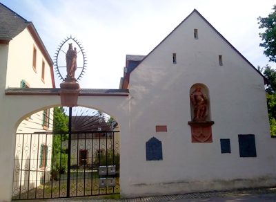 450 m
Farmhouses and Farm Buildings
Ehemaliger Gutshof Mariahof - Kutscherhaus
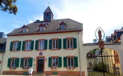 450 m
Farmhouses and Farm Buildings
Ehemaliger Gutshof Mariahof - Hauptwohnhaus
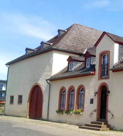 450 m
Farmhouses and Farm Buildings