Natural Landscapes · Undated
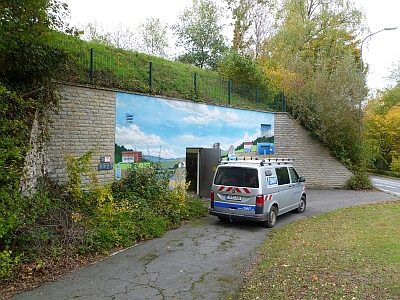
Gutsparkweg Mariahof
Naturdenkmal
- Listed monument


Classification
- Subject area
- Natural Features
- Category
- Natural Landscapes
- Date
- Undatiert
- Period
- Undated
Location
- District
- City of Trier
- Collective municipality
- Verbandsfreie Gemeinde Trier
- Town
- Trier
- Locality / location
- Heiligkreuz
- Street
- Trebetastraße
- Field name
- Ortslage
- Coordinates
- WGS 84: 49.726450, 6.651040 (Position: exact) WGS 84: 49° 43′ 35.2″ N, 6° 39′ 03.7″ E UTM 32 (ETRS89): E 330711 · N 5510865
Sources
Data sources
- [1] Wanderkarten im Maßstab 1:50.000 und 1:25.000.
On the internet
de.wikipedia.org/wiki/Trier-Heiligkreuz
Picture credits
Last edited: 11 Sep 2017 Object ID: 6603
https://kulturdb.de/en/objekt/6603-trier-gutsparkweg-mariahof
Nearby
The nearest objects
No picture
130 m
Extraction and Processing of Raw Materials
Ehemalige Sandgrube
 130 m
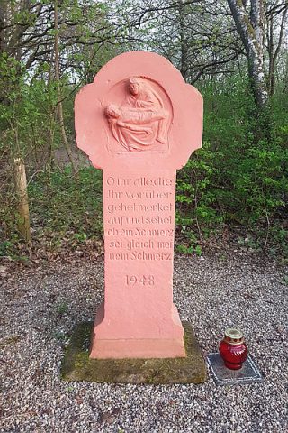
Wayside Shrines and Stations of the Cross
Muttergottes-Bildstock
No picture
170 m
Entrenchments
Ehemalige Schanze
 230 m
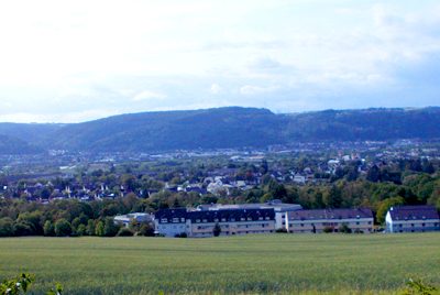
Viewpoints
Aussichtspunkt Kockelshof
 280 m
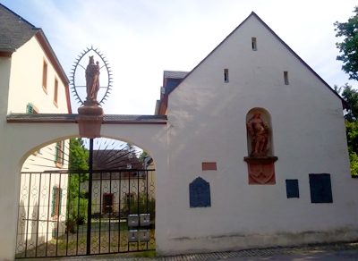
Farmhouses and Farm Buildings
Ehemaliger Gutshof Mariahof - Kutscherhaus
No picture
300 m
Farmhouses and Farm Buildings
Ehemaliger Gutshof Mariahof - Waldhüterhaus
 300 m
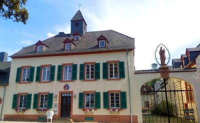
Farmhouses and Farm Buildings
Ehemaliger Gutshof Mariahof - Hauptwohnhaus
 410 m
Water Supply