Surveying · Undated
Trigonometrischer Punkt am Mohrenkopf


Description
This description is only available in German.
Translate with Google opens this page in Google Translate (external service)
Trigonometrischer Punkt am Mohrenkopf auf Höhenpunkt 372,3 Meter über NHN. [1]
Classification
- Subject area
- Architectural and Art Monuments
- Category
- Markers and Monuments
- Object type
- Surveying
- Date
- Undatiert
- Period
- Undated
Location
- District
- City of Trier
- Collective municipality
- Verbandsfreie Gemeinde Trier
- Town
- Trier
- Locality / location
- Trier-West/Pallien
- Field name
- Balduinswald
- Coordinates
- WGS 84: 49.751773, 6.601300 (Position: exact) WGS 84: 49° 45′ 06.4″ N, 6° 36′ 04.7″ E UTM 32 (ETRS89): E 327217 · N 5513794
Sources
Data sources
- [1] RP DTK25 (
- https://geo4.service24.rlp.de/client/lf/lawa/#zoom=16&lat=49.751744…) - abgerufen am 22.03.2021.
On the internet
geo4.service24.rlp.de/client/lf/lawa
Picture credits
Last edited: 26 Jan 2023 Object ID: 50415
https://kulturdb.de/en/objekt/50415-trier-west-pallien-trigonometrischer-punkt-am-mohrenkopf
Nearby
The nearest objects
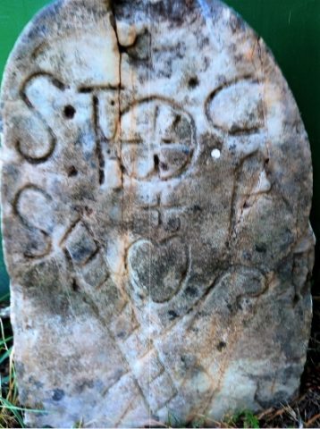 180 m
Surveying
Grenzstein aus dem Hospitienwald - Alter Standort
180 m
Surveying
Grenzstein aus dem Hospitienwald - Deutung
No picture
330 m
Springs
Heidenquelle
No picture
380 m
Farmhouses and Farm Buildings
Neubüschhaus, Hungerburg, Katharinenhof
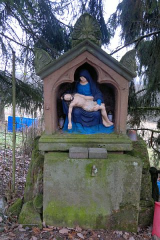 400 m
Wayside Shrine Houses
Heiligenhäuschen
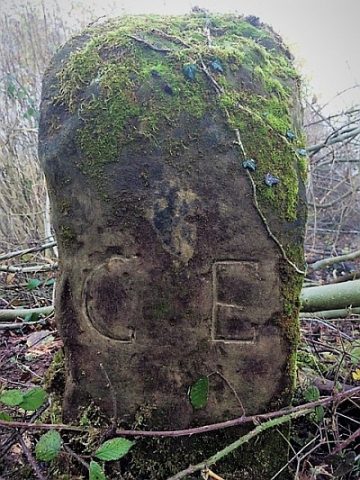 530 m
Surveying
Historischer Grenzstein Euren - Sirzenich
No picture
560 m
Field Names
Gemeindenborn
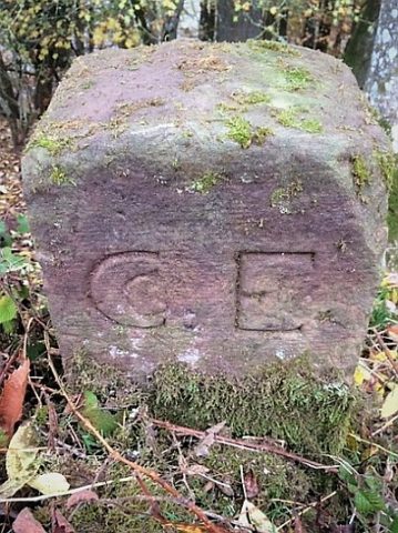 580 m
Surveying