Street Names · 20th Century
Am Weidengraben


© GeoBasis-DE / LVermGeoRP, dl-de/by-2-0
There is no picture of this object yet. Do you have a photo that you would like to make available to the Kulturdatenbank? Submit a picture
Description
This description is only available in German.
Translate with Google opens this page in Google Translate (external service)
Häufiger Typus von Flurnamen: Gräben, an denen Weiden stehen; vielleicht auch zur Viehweide gehörig. [1]
Classification
- Subject area
- History
- Category
- Place Names / Local History
- Object type
- Street Names
- Date
- 1967 [Benennung]
- Period
- 20th Century
Location
- District
- City of Trier
- Collective municipality
- Verbandsfreie Gemeinde Trier
- Town
- Trier
- Locality / location
- Kürenz
- Street
- Am Weidengraben
- Field name
- Ortslage
- Coordinates
- WGS 84: 49.749554, 6.689091 (Position: exact) WGS 84: 49° 44′ 58.4″ N, 6° 41′ 20.7″ E UTM 32 (ETRS89): E 333533 · N 5513348
Sources
Data sources
- [1] © Amt für Bodenmanagement und Geoinformation Trier. https://geoportal.trier.de/trier/index.php
On the internet
Last edited: 6 Apr 2021 Object ID: 50450
https://kulturdb.de/en/objekt/50450-trier-am-weidengraben
Nearby
The nearest objects
 390 m
Works of Art
Rohstoffgarten der Universität Trier (1)
Field Names
Hungerburgerstück
Museums
Archäologische Sammlung
 440 m
Observatories
Sternwarte Trier
 520 m
Street Names
Baltzstraße
 520 m
Viewpoints
Aussichtspunkt auf dem Uni-Gelände
520 m
Landscape Gardens
Campus der Universität
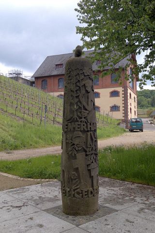 550 m
Wayside Shrines and Stations of the Cross