Field Names · Undated
Hungerburgerstück


© GeoBasis-DE / LVermGeoRP, dl-de/by-2-0
There is no picture of this object yet. Do you have a photo that you would like to make available to the Kulturdatenbank? Submit a picture
Description
This description is only available in German.
Translate with Google opens this page in Google Translate (external service)
Zu althochdeutsch hungar, hunger, mittelhochdeutsch hunger, starkes Maskulinum 'Hunger'. Die Namen zeigen minderwertige, wenig fruchtbare Böden an: Ackerstücke, die keinen Ertrag abwerfen, und Weiden, auf denen wenig Gras wächst. [1]
Classification
- Subject area
- History
- Category
- Field Names
- Date
- Undatiert
- Period
- Undated
Location
- District
- City of Trier
- Collective municipality
- Verbandsfreie Gemeinde Trier
- Town
- Trier
- Locality / location
- Kürenz
- Field name
- Hungerburgerstück
- Coordinates
- WGS 84: 49.753120, 6.688530 (Position: exact) WGS 84: 49° 45′ 11.2″ N, 6° 41′ 18.7″ E UTM 32 (ETRS89): E 333504 · N 5513746
Sources
Data sources
- [1] Landesgeschichtliches Informationssystem Hessen (LAGIS)
On the internet
Last edited: 6 Jun 2015 Object ID: 39008
https://kulturdb.de/en/objekt/39008-trier-hungerburgerstueck
Nearby
The nearest objects
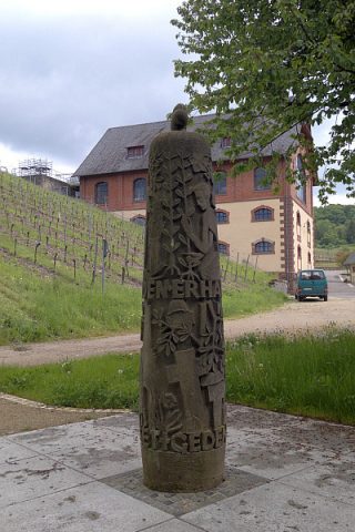 220 m
Wayside Shrines and Stations of the Cross
Domäne Avelsbach - Friedensstele
 250 m
Street Names
Baltzstraße
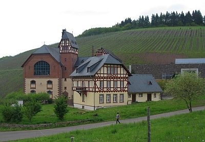 290 m
Farmhouses and Farm Buildings
Domäne Avelsbach
Street Names
Am Weidengraben
Vineyard Sites
Hammerstein
Street Names
Kohlenstraße
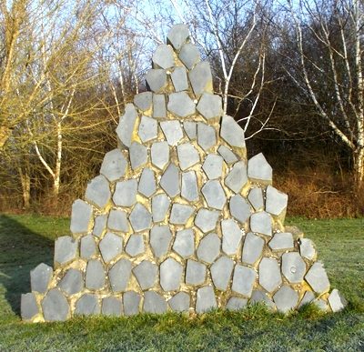 600 m
Works of Art
Rohstoffgarten der Universität Trier (2)
 640 m
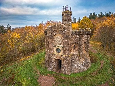
Observation Towers