Street Names · Undated
Kohlenstraße


© GeoBasis-DE / LVermGeoRP, dl-de/by-2-0
There is no picture of this object yet. Do you have a photo that you would like to make available to the Kulturdatenbank? Submit a picture
Description
This description is only available in German.
Translate with Google opens this page in Google Translate (external service)
Weg, auf dem in früheren Jahrhunderten die Holzkohle aus den Meilern des Hochwaldes nach Trier gebracht wurde (auch in Franzenheim gibt es die Flurbezeichnung „Unter dem Kohleberg“). [1]
Classification
- Subject area
- History
- Category
- Place Names / Local History
- Object type
- Street Names
- Date
- Undatiert
- Period
- Undated
Location
- District
- City of Trier
- Collective municipality
- Verbandsfreie Gemeinde Trier
- Town
- Trier
- Locality / location
- Kürenz
- Field name
- Ortslage
- Coordinates
- WGS 84: 49.754673, 6.682322 (Position: exact) WGS 84: 49° 45′ 16.8″ N, 6° 40′ 56.4″ E UTM 32 (ETRS89): E 333063 · N 5513933
Sources
Data sources
- [1] © Amt für Bodenmanagement und Geoinformation Trier. https://geoportal.trier.de/trier/index.php
On the internet
Last edited: 13 Apr 2026 Object ID: 57626
https://kulturdb.de/en/objekt/57626-trier-kohlenstrasse
Nearby
The nearest objects
Street Names
Peter-Wagner-Straße
Street Names
Louis-Pasteur-Straße
Deserted Settlements
Awelerhof
Field Names
Hungerburgerstück
 540 m
Observation Towers
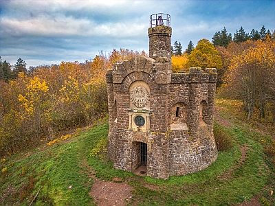
Domäne Avelsbach - sogenannte Thiels-Burg
 600 m
Vineyard Sites
Avel
Field Names
Im Vogelsang
 660 m
Works of Art