Castles · Gothic
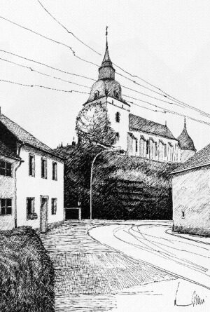
Ehemalige Burg der Grafen von Hochstaden


© GeoBasis-DE / LVermGeoRP, dl-de/by-2-0
There is no picture of this object yet. Do you have a photo that you would like to make available to the Kulturdatenbank? Submit a picture
Description
This description is only available in German.
Translate with Google opens this page in Google Translate (external service)
Die Kirche steht an der Stelle einer Burg der Grafen von Hochstaden, die 1282 in Blankenheimischen Besitz überging. Mauerkörper und Kellerraum der Sakristei gehen vermutlich auf die Burgkapelle zurück. [1]
Classification
- Subject area
- Archaeological Monuments
- Object type
- Castles
- Date
- 1282
- Period
- Gothic
Location
- District
- Vulkaneifel
- Collective municipality
- Gerolstein
- Municipality
- Steffeln
- Street
- Kirchweg 4
- Field name
- Ortslage
- Coordinates
- WGS 84: 50.287842, 6.569330 (Position: exact) WGS 84: 50° 17′ 16.2″ N, 6° 34′ 09.6″ E UTM 32 (ETRS89): E 326853 · N 5573461
Sources
Data sources
- [1] Rund um die Kirche im Dorf - Kirchen und Kapellen der Westeifel. Hrsg. Geschichtsverein Prümer Land, Prüm, 2004. ISBN: 3-931478-14-9 http://www.gvpl.de/
On the internet
Last edited: 7 Apr 2021 Object ID: 50462
https://kulturdb.de/en/objekt/50462-steffeln-ehemalige-burg-der-grafen-von-hochstaden
Nearby
The nearest objects
 10 m
Catholic Churches
Sankt Michael
 10 m
Organs
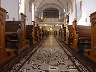
Sankt Michael - Orgel
 10 m
Wayside Shrines and Stations of the Cross
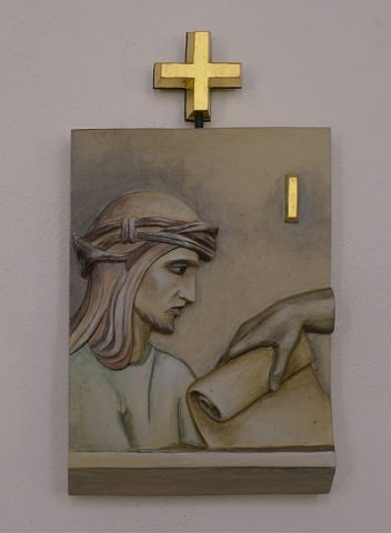
Sankt Michael - Kreuzwegstationen 1 - 6
 10 m
Wayside Shrines and Stations of the Cross
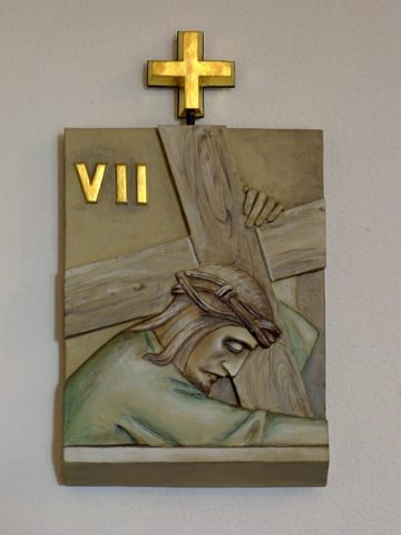
Sankt Michael - Kreuzwegstationen 7 - 12
 10 m
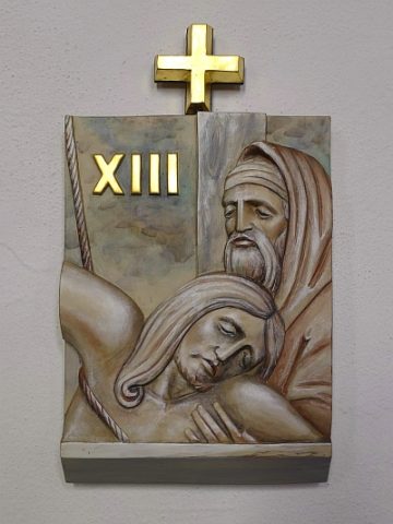
Wayside Shrines and Stations of the Cross
Sankt Michael - Kreuzwegstationen 13 - 14
 30 m
Exhibitions, Cultural Centres and Memorial Sites
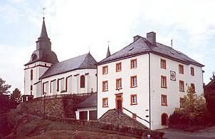
Kunstakademie
 30 m
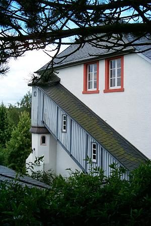
Rectories
Ehemaliges Pfarrhaus
 30 m
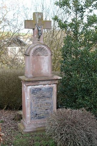
Burial Sites