Surveying · Undated
Grenzstein


Description
This description is only available in German.
Translate with Google opens this page in Google Translate (external service)
Alter Grenzstein, am Wegesrand an der Gemarkungsgrenze der Gemeinden Serrig und Irsch gelegen. [1]
Classification
- Subject area
- Architectural and Art Monuments
- Category
- Markers and Monuments
- Object type
- Surveying
- Date
- Undatiert
- Period
- Undated
Location
- District
- Trier-Saarburg
- Collective municipality
- Saarburg-Kell
- Municipality
- Serrig
- Field name
- In der Schmilleff
- Coordinates
- WGS 84: 49.581825, 6.628507 (Position: exact) WGS 84: 49° 34′ 54.6″ N, 6° 37′ 42.6″ E UTM 32 (ETRS89): E 328580 · N 5494839
Sources
Data sources
- [1] Michael Grün, Trier, 2021.
On the internet
Picture credits
Last edited: 21 Apr 2021 Object ID: 50476
https://kulturdb.de/en/objekt/50476-serrig-grenzstein
Nearby
The nearest objects
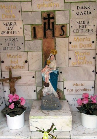 180 m
Wayside Shrines and Stations of the Cross
Wegekreuz am Heiligenborn
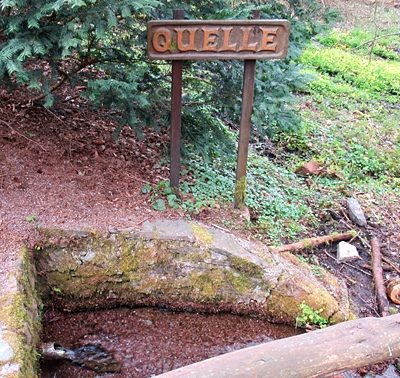 200 m
Field Names
Beim Heiligenborn
200 m
Springs
Quelle am Heiligenborn
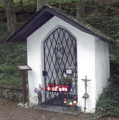 200 m
Pilgrimage Sites
Heiligenborn - Wallfahrtskapelle
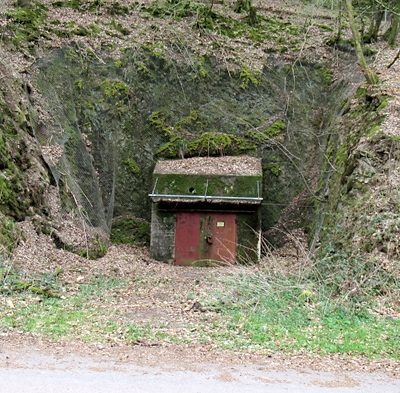 330 m
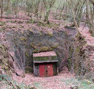
Fortresses and Bunkers
Ehemaliges Sanitätsmateriallager
 390 m
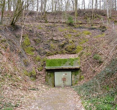
Fortresses and Bunkers
Ehemaliges Sanitätsmateriallager
 490 m
Fortresses and Bunkers
Ehemaliges Sanitätsmateriallager
No picture
640 m
Fortresses and Bunkers