Rocks · Undated
Felsen
Naturdenkmal
- Listed monument

Classification
- Subject area
- Natural Features
- Category
- Rocks
- Date
- Undatiert
- Period
- Undated
Location
- District
- Bernkastel-Wittlich
- Collective municipality
- Bernkastel-Kues
- Municipality
- Brauneberg
- Locality / location
- Hirzlei
- Field name
- Aufm Wald
- Coordinates
- WGS 84: 49.861250, 6.995710 (Position: exact) WGS 84: 49° 51′ 40.5″ N, 6° 59′ 44.6″ E UTM 32 (ETRS89): E 355950 · N 5525131
Sources
Data sources
- [1] Wanderkarten im Maßstab 1:50.000 und 1:25.000.
On the internet
Picture credits
- Picture 1: Peter Valerius, Kordel, 2005.
Last edited: 30 Jun 2002 Object ID: 5054
https://kulturdb.de/en/objekt/5054-brauneberg-felsen
Nearby
The nearest objects
No picture
60 m
Mills
Filzener Genossenschaftsmühle
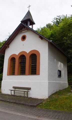 190 m
Chapels
Kapelle Sankt Josef der Arbeiter
No picture
250 m
Mills
Ehemalige Mühle
No picture
360 m
Mills
Ehemalige Mühle
No picture
430 m
Viewpoints
Aussichtspunkt am Hirschfelsen
 450 m
Rocks
Dusemonder Heldfelsen (Hirschfelsen)
470 m
Rocks
Dusemonder Heldfelsen (Hirschfelsen)
650 m
Rocks