Mills · Historicism / Art Nouveau
Ehemalige Mühle


© GeoBasis-DE / LVermGeoRP, dl-de/by-2-0
There is no picture of this object yet. Do you have a photo that you would like to make available to the Kulturdatenbank? Submit a picture
Classification
- Subject area
- Architectural and Art Monuments
- Object type
- Mills
- Date
- 1885
Location
- District
- Bernkastel-Wittlich
- Collective municipality
- Bernkastel-Kues
- Municipality
- Brauneberg
- Locality / location
- Filzen
- Street
- Ortsstraße
- Field name
- Ortslage
- Coordinates
- WGS 84: 49.861013, 6.999154 (Position: exact) WGS 84: 49° 51′ 39.6″ N, 6° 59′ 57.0″ E UTM 32 (ETRS89): E 356197 · N 5525098
Sources
Data sources
- [1] Topographische Karte von 1885.
On the internet
Last edited: 19 Nov 2010 Object ID: 19416
https://kulturdb.de/en/objekt/19416-brauneberg-ehemalige-muehle
Nearby
The nearest objects
No picture
220 m
Mills
Filzener Genossenschaftsmühle
 250 m
Rocks
Felsen
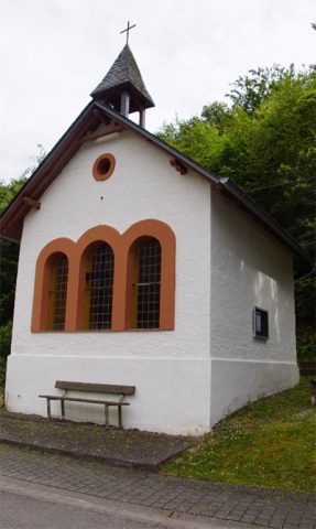 420 m
Chapels
Kapelle Sankt Josef der Arbeiter
No picture
560 m
Burial Mounds
Grabhügelgruppe auf dem Hahnenkopf
No picture
600 m
Viewpoints
Aussichtspunkt am Hirschfelsen
630 m
Rocks
Dusemonder Heldfelsen (Hirschfelsen)
650 m
Rocks
Felspartie
720 m
Rocks