Burial Mounds · Celtic / Roman Period
Grabhügelgruppe auf dem Hahnenkopf
- Listed monument


© GeoBasis-DE / LVermGeoRP, dl-de/by-2-0
There is no picture of this object yet. Do you have a photo that you would like to make available to the Kulturdatenbank? Submit a picture
Description
This description is only available in German.
Translate with Google opens this page in Google Translate (external service)
Gruppe von insgesamt 11 Hügeln, Durchmesser zwischen vier und acht Metern. Ein Hügel wurde 1907 vom Provinzialmuseum Trier untersucht. In der Hügelmitte soll sich eine römische Urnenbestattung befunden haben, von der zwei Gefäße ins Museum gelangt sind. [1]
Classification
- Subject area
- Archaeological Monuments
- Category
- Burials
- Object type
- Burial Mounds
- Date
- 1. Jahrhundert nach Chr.
- Period
- Celtic / Roman Period
Location
- District
- Bernkastel-Wittlich
- Collective municipality
- Bernkastel-Kues
- Municipality
- Brauneberg
- Field name
- Aufm Wald
- Coordinates
- WGS 84: 49.856507, 7.002482 (Position: presumed) WGS 84: 49° 51′ 23.4″ N, 7° 00′ 08.9″ E UTM 32 (ETRS89): E 356423 · N 5524590
Sources
Data sources
- [1] Wolfgang Ebel: Die römischen Grabhügel des ersten Jahrhunderts im Treverergebiet. Marburger Studien zur Vor- und Frühgeschichte; Band 12. ISBN 3-89398-018-0
On the internet
Last edited: 18 Jun 2008 Object ID: 13828
https://kulturdb.de/en/objekt/13828-brauneberg-grabhuegelgruppe-auf-dem-hahnenkopf
Nearby
The nearest objects
 360 m
Rocks
Felspartie
470 m
Rocks
Felspartie
Mills
Ehemalige Mühle
Mills
Filzener Genossenschaftsmühle
Burial Mounds
Gruppe von Kieselfindlingen
720 m
Rocks
Felsen
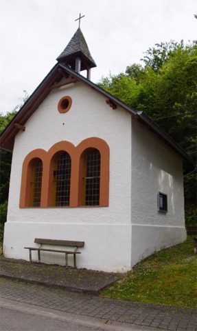 910 m
Chapels
Kapelle Sankt Josef der Arbeiter
Viewpoints