Town Parks and Public Green Spaces · Undated
Landratsgarten
- Listed monument


© GeoBasis-DE / LVermGeoRP, dl-de/by-2-0
There is no picture of this object yet. Do you have a photo that you would like to make available to the Kulturdatenbank? Submit a picture
Classification
- Subject area
- Natural Features
- Category
- Parks, Gardens and Cemeteries
- Object type
- Town Parks and Public Green Spaces
- Date
- Undatiert
- Period
- Undated
Location
- District
- Trier-Saarburg
- Collective municipality
- Saarburg-Kell
- Town
- Saarburg
- Street
- Schlossberg
- Field name
- Ortslage
- Coordinates
- WGS 84: 49.608518, 6.551976 (Position: exact) WGS 84: 49° 36′ 30.7″ N, 6° 33′ 07.1″ E UTM 32 (ETRS89): E 323145 · N 5497984
Sources
On the internet
Last edited: 19 Aug 2021 Object ID: 51208
https://kulturdb.de/en/objekt/51208-saarburg-landratsgarten
Nearby
The nearest objects
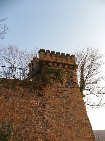 10 m
Observation Towers
Turmbelvedere
No picture
20 m
Town Houses and Commercial Buildings
Ehemaliges Haus Hirtzberg
No picture
40 m
Town Houses and Commercial Buildings
Ehemaliges Haus Sierk
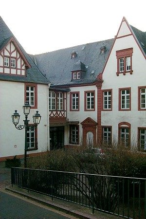 50 m
Town Houses and Commercial Buildings
Warsberger Hof
No picture
60 m
Town Houses and Commercial Buildings
Wohnhaus
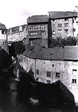 60 m
Monuments
Ehemalige Synagoge - Gedenktafel
60 m
Jewish History
Jüdische Siedlung
60 m
Jewish History