Rocks · 20th Century
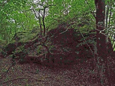
Gipfel der Baarley
Naturdenkmal
- Listed monument

Description
This description is only available in German.
Translate with Google opens this page in Google Translate (external service)
Classification
- Subject area
- Natural Features
- Category
- Rocks
- Date
- 16.04.1938 [Unterschutzstellung]
- Period
- 20th Century
Location
- District
- Vulkaneifel
- Collective municipality
- Gerolstein
- Municipality
- Pelm
- Field name
- Grundacker unter Baarlei
- Coordinates
- WGS 84: 50.226820, 6.694100 (Position: exact) WGS 84: 50° 13′ 36.6″ N, 6° 41′ 38.8″ E UTM 32 (ETRS89): E 335530 · N 5566394
Sources
Data sources
- [1] LANIS - Landschaftsinformationssysten der Naturschutzverwaltung Rheinland-Pfalz, 2015. http://www.naturschutz.rlp.de/?q=naturdenkmal
- [2] Rita Gehendges: Naturdenkmale des Landkreises Daun. 1985. Hrsg.: Landkreis Daun.
On the internet
Picture credits
- Picture 1: Peter Valerius, Kordel, 2005.
Last edited: 29 May 2015 Object ID: 5138
https://kulturdb.de/en/objekt/5138-pelm-gipfel-der-baarley
Nearby
The nearest objects
 20 m
Rocks
Felsformation Steene Mann
No picture
20 m
Field Names
Grundacker unter Baarlei
 80 m
Volcanoes
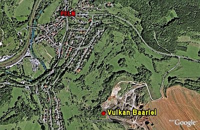
Vulkan Baarley
No picture
80 m
Extraction and Processing of Raw Materials
Mühlsteinbruch Barley
No picture
120 m
Field Names
Grundacker zur Gerserlei
No picture
170 m
Field Names
Im Grundacker 2. Gewann
No picture
200 m
Field Names
Auf der Kreust zu Grundacker
No picture
260 m
Field Names