Fortresses and Bunkers · Undated
Luftschutzbunker


Description
This description is only available in German.
Translate with Google opens this page in Google Translate (external service)
Classification
- Subject area
- Architectural and Art Monuments
- Object type
- Fortresses and Bunkers
- Date
- Undatiert
- Period
- Undated
Location
- District
- City of Trier
- Collective municipality
- Verbandsfreie Gemeinde Trier
- Town
- Trier
- Locality / location
- Trier-Süd
- Street
- Speestraße 12B
- Field name
- Ortslage
- Coordinates
- WGS 84: 49.747169, 6.628231 (Position: exact) WGS 84: 49° 44′ 49.8″ N, 6° 37′ 41.6″ E UTM 32 (ETRS89): E 329141 · N 5513220
Sources
Data sources
- [1] Jörg Busch, Trier-Biewer, 2022.
- [2] Plan der Stadt Trier und Umgebung. Ungefährer Massstab 1:10.000. Herausgegeben vom Städtischen Vermessungsamt 1947.
On the internet
de.wikipedia.org/wiki/Trier-S%C3%BCd
Picture credits
Last edited: 2 May 2022 Object ID: 51672
https://kulturdb.de/en/objekt/51672-trier-sued-luftschutzbunker
Nearby
The nearest objects
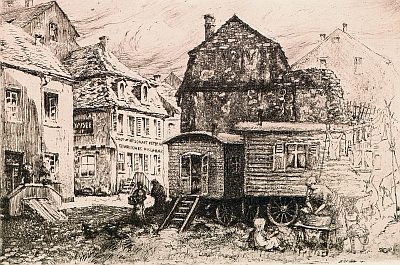 40 m
Street Names
Sankt-Barbara-Ufer
No picture
70 m
Town Fortifications
Ehemaliger Turm der römischen Stadtmauer
No picture
80 m
Town Fortifications
Ehemaliger Turm der römischen Stadtmauer
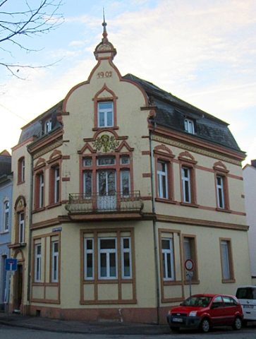 120 m
Town Houses and Commercial Buildings
Haus Friedrich-Wilhelm-Straße 80
No picture
140 m
Town Houses and Commercial Buildings
Wohnhaus
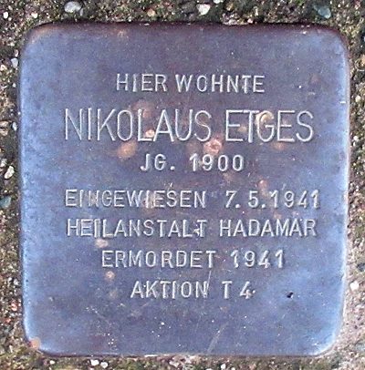 140 m
Stolpersteine (Stumbling Stones)
Stolperstein für Nikolaus Etges
No picture
150 m
Town Houses and Commercial Buildings
Wohnhaus
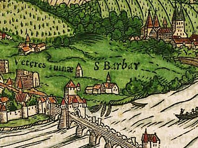 160 m
Settlements