Field Names · Early Middle Ages / Romanesque
Auf dem Büttelhof


© GeoBasis-DE / LVermGeoRP, dl-de/by-2-0
There is no picture of this object yet. Do you have a photo that you would like to make available to the Kulturdatenbank? Submit a picture
Description
This description is only available in German.
Translate with Google opens this page in Google Translate (external service)
Büttel (ahd. butil, mhd. bütel = Gerichtsdiener).
Der Flurname "Büttelhof" weist darauf hin, dass die Einnahmen des Hofs (mehrere Grundstücke, größere Fläche) am Schillberg, wo auch die mittelalterliche Richtstätte war, dazu dienten, die Kosten von Hinrichtungen und die Unterhaltung des Galgens zu finanzieren. [1]
Classification
- Subject area
- History
- Category
- Field Names
- Date
- Um 1100
Location
- District
- Vulkaneifel
- Collective municipality
- Kelberg
- Municipality
- Boxberg
- Field name
- Auf dem Büttelhof
- Coordinates
- WGS 84: 50.271547, 6.851135 (Position: exact) WGS 84: 50° 16′ 17.6″ N, 6° 51′ 04.1″ E UTM 32 (ETRS89): E 346873 · N 5571032
Sources
Data sources
- [1] Friedbert Wißkirchen, Daun, 2022.
On the internet
Last edited: 26 May 2022 Object ID: 51710
https://kulturdb.de/en/objekt/51710-boxberg-auf-dem-buettelhof
Nearby
The nearest objects
 180 m
Execution Sites
Ehemalige Richtstätte
Field Names
Im Büttelhof
 310 m
Springs
Lieserquelle
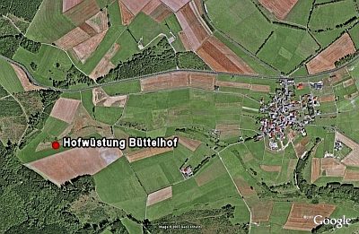 380 m
Deserted Settlements
Hofwüstung Büttelhof
Field Names
Haagwies an der Sauerwies
Wayside Shrines and Stations of the Cross
Wegekreuz
 1.0 km
Road Transport
Weinstraße
Mills