Flood Marks · Baroque / Rococo
Hochwassermarken am ehemaligen Pfarrhaus
- Listed monument


© GeoBasis-DE / LVermGeoRP, dl-de/by-2-0
There is no picture of this object yet. Do you have a photo that you would like to make available to the Kulturdatenbank? Submit a picture
Description
This description is only available in German.
Translate with Google opens this page in Google Translate (external service)
1. Inschrift:
prIDIe CaLenDas Ianl geLbls tantae aLtltVDInls erat
"Am 31. Dezember 1763 stand das Hochwasser der Kyll (13 Zoll hoch)."
2. Inschrift
et paVLo Inferior DeCIMa qVarta oCtobrls
"Und am 14. Oktober 1764 nur ein wenig tiefer" [1]
Classification
- Subject area
- Architectural and Art Monuments
- Category
- Markers and Monuments
- Object type
- Flood Marks
- Date
- 1763
- Period
- Baroque / Rococo
Location
- District
- Trier-Saarburg
- Collective municipality
- Trier-Land
- Municipality
- Kordel
- Street
- Schulstraße 12
- Field name
- Bei der Kirch
- Coordinates
- WGS 84: 49.840351, 6.634771 (Position: exact) WGS 84: 49° 50′ 25.3″ N, 6° 38′ 05.2″ E UTM 32 (ETRS89): E 329938 · N 5523564
Sources
Data sources
- [1] Eduard Lichter: Chronogramme aus dem Regierungsbezirk Koblenz von 1317 bis 1996. In: Neues Trierisches Jahrbuch 1999, S. 171-181.
On the internet
Last edited: 28 Sep 2023 Object ID: 51844
https://kulturdb.de/en/objekt/51844-kordel-hochwassermarken-am-ehemaligen-pfarrhaus
Nearby
The nearest objects
Chronograms
Chronogramme am ehemaligen Pfarrhaus
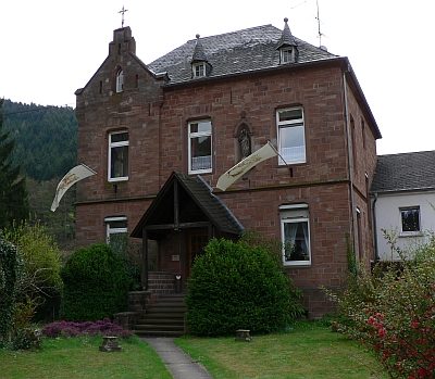 less than 10 m
Rectories
Pfarrhaus
Catholic Churches
Ehemalige Pfarrscheune als Notkirche
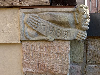 30 m
Works of Art
Sankt Amandus u. Sankt Vedastus - Männchen
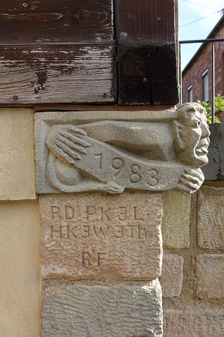 30 m
Inscriptions
Sankt Amandus u. Sankt Vedastus - Inschriften
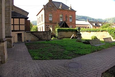 30 m
Christian Cemeteries
Ehemaliger Kinderfriedhof
 30 m
War Memorials
Altes Friedhofskreuz für Pfarrer Herrig
 30 m
Nativity Scenes