House Names · 20th Century
Haus Narbonne


© GeoBasis-DE / LVermGeoRP, dl-de/by-2-0
There is no picture of this object yet. Do you have a photo that you would like to make available to the Kulturdatenbank? Submit a picture
Description
This description is only available in German.
Translate with Google opens this page in Google Translate (external service)
Das Haus ist Teil einer ehemaligen Wohnsiedlung der französischen Streitkräfte. Trier war zeitweilig weltweit der größte französische Militärstandort außerhalb Frankreichs mit 20.000 Soldaten inklusive Angehöriger. [Red.]
Narbonne ist eine südfranzösische Gemeinde im Département Aude in der Region Okzitanien. [2]
Classification
- Subject area
- History
- Category
- Place Names / Local History
- Object type
- House Names
- Date
- Nach 1918
- Period
- 20th Century
Location
- District
- City of Trier
- Collective municipality
- Verbandsfreie Gemeinde Trier
- Town
- Trier
- Locality / location
- Trier-Nord
- Street
- Schurzstraße 6-8
- Field name
- Ortslage
- Coordinates
- WGS 84: 49.767396, 6.659699 (Position: exact) WGS 84: 49° 46′ 02.6″ N, 6° 39′ 34.9″ E UTM 32 (ETRS89): E 331477 · N 5515397
Sources
Data sources
- [1] Baubestandszeichnung Finanzbauamt Trier, vom 1. 3.1957. Sammlung Alain Giletta https://www.facebook.com/groups/298708750250725/permalink/542981383…
- [2] Seite „Narbonne“. In: Wikipedia – Die freie Enzyklopädie. Bearbeitungsstand: 6. September 2022, 19:22 UTC. URL: https://de.wikipedia.org/w/index.php?title=Narbonne&oldid=225953890 (Abgerufen: 2. Oktober 2022, 15:18 UTC)
On the internet
Last edited: 3 Oct 2022 Object ID: 51959
https://kulturdb.de/en/objekt/51959-trier-nord-haus-narbonne
Nearby
The nearest objects
 50 m
Fortresses and Bunkers
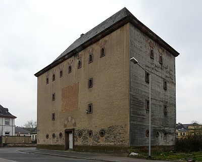
Hochbunker
House Names
Haus Perpignan
House Names
Haus Carcassonne
Barracks
Ehemalige Goeben-Kaserne
 100 m
Street Names
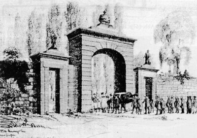
An der Feldport
 100 m
Religious Buildings
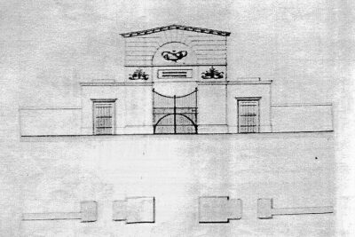
Geplantes Friedhofsportal An der Feldport
 160 m
Barracks
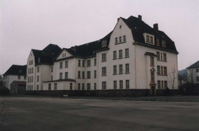
Haus Herzogenbuscher Straße 12
180 m
Barracks