Fortresses and Bunkers · 20th Century
Hochbunker
- Listed monument


Description
This description is only available in German.
Translate with Google opens this page in Google Translate (external service)
Hochbunker; viergeschossiger Walmdachbau mit historisierenden Details, um 1940. [1]
Classification
- Subject area
- Architectural and Art Monuments
- Object type
- Fortresses and Bunkers
- Date
- Um 1940
- Period
- 20th Century
Location
- District
- City of Trier
- Collective municipality
- Verbandsfreie Gemeinde Trier
- Town
- Trier
- Locality / location
- Trier-Nord
- Street
- Karl-Grün-Straße 10
- Field name
- Ortslage
- Coordinates
- WGS 84: 49.767006, 6.660048 (Position: exact) WGS 84: 49° 46′ 01.2″ N, 6° 39′ 36.2″ E UTM 32 (ETRS89): E 331501 · N 5515353
Sources
Data sources
- [1] Seite "Liste der Kulturdenkmäler in Trier-Kernstadt/Straßen G bis K". In: Wikipedia – Die freie Enzyklopädie. Bearbeitungsstand: 23. Februar 2022, 14:35 UTC. URL: https://de.wikipedia.org/w/index.php?title=Liste_der_Kulturdenkm%C3… (Abgerufen: 29. April 2022, 13:58 UTC)
- [2] Plan der Stadt Trier und Umgebung. Ungefährer Massstab 1:10.000. Herausgegeben vom Städtischen Vermessungsamt 1947.
On the internet
de.wikipedia.org/wiki/Trier-Nord
Picture credits
Last edited: 2 May 2022 Object ID: 18404
https://kulturdb.de/en/objekt/18404-trier-nord-hochbunker
Nearby
The nearest objects
No picture
50 m
House Names
Haus Narbonne
No picture
50 m
Barracks
Ehemalige Goeben-Kaserne
No picture
120 m
House Names
Haus Perpignan
No picture
120 m
House Names
Haus Carcassonne
No picture
140 m
Street Names
Am Beutelweg
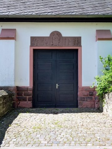 160 m
Catholic Churches
Sankt Ambrosius - Seiteneingang
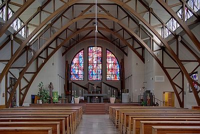 160 m
Organs
Sankt Ambrosius - Orgel
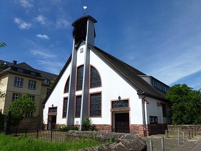 180 m
Catholic Churches